Where is Farmington Hills, MI?
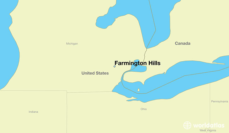
Farmington Hills is a city found in Michigan, The United States Of America. It is located 42.49 latitude and -83.38 longitude and it is situated at elevation 260 meters above sea level.
Farmington Hills has a population of 79,740 making it the 9th biggest city in Michigan. It operates on the CST time zone, which means that it follows the same time zone as Ann Arbor.
Quick facts
| Country | The United States Of America |
| State | Michigan |
| Population | 79,740 |
| Elevation | 260 m over sea level |
| Time Zone | CST |
| Longitude | -83.377160 |
| Latitude | 42.485310 |
Farmington-hills has a population of around 80971, of which 37932 (46%) are male and 43039 (53%) are female. The average age of the inhabitants of Farmington-hills is 41.40, meaning that the average person is above the national median age of 37. For every male, there are approximately 1.13 females, meaning that the population is relatively evenly distributed between males and female(s).
Of Farmington-hills's 80971 residents, around 78870 (97.40%) identify as having a single race. The majority of the population is white, which consists of 66.10% of the population. Of the remaining population, 15587 are black/African Americans (19.30%), 170 are native Americans (0.20%), 9072 are asians (11.00%), 488 are other (0.60%).
The median income of households in Farmington-hills is $71609.00, meaning that most of the households are above the poverty threshold for families of three. Of the total population, 4.20% of households reported an annual income of less than $10,000.
Farmington Hills, MI Zipcodes
The city of Farmington Hills has 7 zipcodes recognized by the United States Census Bureau: 48025, 48167, 48322, 48331, 48334, 48335, 48336.