Where is Ann Arbor, MI?
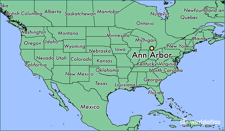
Ann Arbor is a city found in Michigan, The United States Of America. It is located 42.28 latitude and -83.74 longitude and it is situated at elevation 271 meters above sea level.
Ann Arbor has a population of 113,934 making it the biggest city in Michigan. It operates on the CST time zone.
Quick facts
| Country | The United States Of America |
| State | Michigan |
| Population | 113,934 |
| Elevation | 271 m over sea level |
| Time Zone | CST |
| Longitude | -83.740880 |
| Latitude | 42.277560 |
Ann-arbor has a population of around 116194, of which 58018 (49%) are male and 58176 (50%) are female. The average age of the inhabitants of Ann-arbor is 33.89, meaning that the average person is below the national median age of 37. For every male, there are approximately 1 females, meaning that the population is relatively evenly distributed between males and female(s).
Of Ann-arbor's 116194 residents, around 111772 (96.20%) identify as having a single race. The majority of the population is white, which consists of 72.30% of the population. Of the remaining population, 8591 are black/African Americans (7.40%), 482 are native Americans (0.40%), 17973 are asians (15.00%), 33 are pacific islanders (0.00%), 643 are other (0.60%).
The median income of households in Ann-arbor is $55990.00, meaning that most of the households are above the poverty threshold for families of three. Of the total population, 11.30% of households reported an annual income of less than $10,000.
Ann Arbor, MI Zipcodes
The city of Ann Arbor has 5 zipcodes recognized by the United States Census Bureau: 48103, 48104, 48105, 48108, 48109.