Where is Genesee County, Michigan?
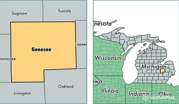
Genesee County is a county equivalent area found in Michigan, USA. The county government of Genesee is found in the county seat of Flint.
With a total 1,682.42 sq. km of land and water area, Genesee County, Michigan is the 1579th largest county equivalent area in the United States. Home to 412,895 people, Genesee County has a total 190480 households earning 42089 on average per year.
Genesee County, Michigan - Quick Facts
| FIPS Code | 26049 |
| Area Codes | 810,989 |
| Time Zone | EST |
| Major Cities | Flint (population: 160,140), Grand Blanc (population: 48,367), Fenton (population: 36,517), Davison (population: 32,141), Burton (population: 26,732), Flushing (population: 26,037), Swartz Creek (population: 22,116), Clio (population: 21,694), Mount Morris (population: 20,181), Linden (population: 14,533) |
| Land Area | 159,420 sq miles |
| Water Area | 637 sq miles |
| Household Income | $42,089 |
| Housing Units | 190,480 |
| Median Home Value | $91,700 |
| High School Grads | 89% of population |
| Holders of Bachelors Degrees | 19% of population |
| Retail Spending | $11,142 per capita |
| Food & Accomodation Sales | $528,674 per capita |
| Universities and Colleges | Creative Hair School of Cosmetology, Flint Institute of Barbering Inc, Sharps Academy of Hair Styling |
This page was last updated on June 30, 2016.