Where is Androscoggin County, Maine?
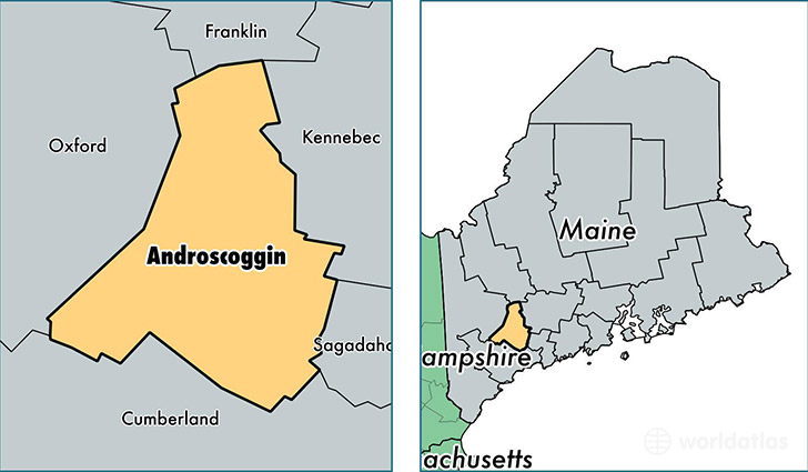
Androscoggin County is a county equivalent area found in Maine, USA. The county government of Androscoggin is found in the county seat of Auburn.
With a total 1,287.54 sq. km of land and water area, Androscoggin County, Maine is the 2195th largest county equivalent area in the United States. Home to 107,440 people, Androscoggin County has a total 48956 households earning 44921 on average per year.
Androscoggin County, Maine - Quick Facts
| FIPS Code | 23001 |
| Area Codes | 207 |
| Time Zone | EST |
| Major Cities | Lewiston (population: 36,560), Auburn (population: 23,025), Sabattus (population: 6,468), Turner (population: 5,729), Poland (population: 5,338), Lisbon Falls (population: 4,794), Greene (population: 4,346), Lisbon (population: 4,224), Durham (population: 3,844), Livermore Falls (population: 3,178) |
| Land Area | 41,483 sq miles |
| Water Area | 468 sq miles |
| Household Income | $44,921 |
| Housing Units | 48,956 |
| Median Home Value | $154,800 |
| High School Grads | 88% of population |
| Holders of Bachelors Degrees | 19% of population |
| Retail Spending | $15,973 per capita |
| Food & Accomodation Sales | $149,702 per capita |
| Universities and Colleges | Central Maine Medical Center College of Nursing and Health Professions |
This page was last updated on June 30, 2016.