Where is Shelby County, Kentucky?
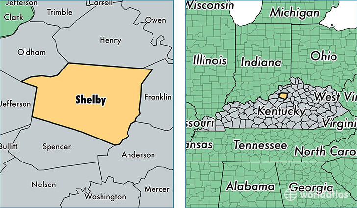
Shelby County is a county equivalent area found in Kentucky, USA. The county government of Shelby is found in the county seat of Shelbyville.
With a total 998.88 sq. km of land and water area, Shelby County, Kentucky is the 2646th largest county equivalent area in the United States. Home to 44,875 people, Shelby County has a total 16833 households earning 57298 on average per year.
Shelby County, Kentucky - Quick Facts
| FIPS Code | 21211 |
| Area Codes | 502 |
| Time Zone | EST |
| Major Cities | Shelbyville (population: 29,050), Simpsonville (population: 5,301), Waddy (population: 2,602), Bagdad (population: 1,968), Finchville (population: 864) |
| Land Area | 17,326 sq miles |
| Water Area | 380 sq miles |
| Household Income | $57,298 |
| Housing Units | 16,833 |
| Median Home Value | $165,000 |
| High School Grads | 85% of population |
| Holders of Bachelors Degrees | 24% of population |
| Retail Spending | $12,279 per capita |
This page was last updated on June 30, 2016.