Where is Anderson County, Kentucky?
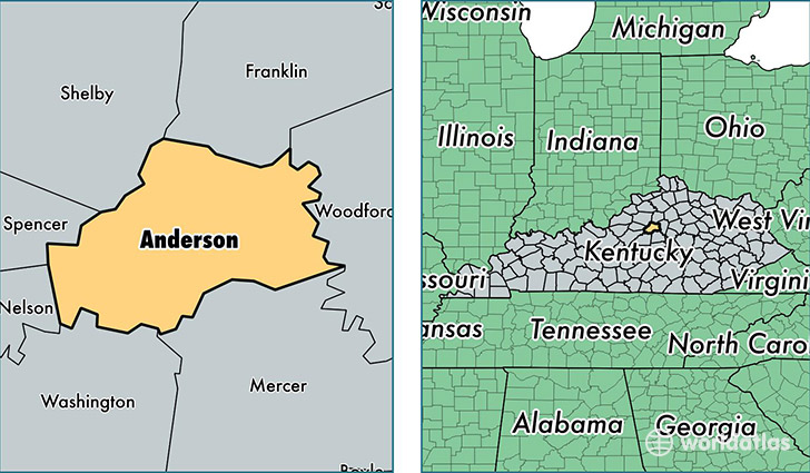
Anderson County is a county equivalent area found in Kentucky, USA. The county government of Anderson is found in the county seat of Lawrenceburg.
With a total 529.06 sq. km of land and water area, Anderson County, Kentucky is the 3012th largest county equivalent area in the United States. Home to 21,888 people, Anderson County has a total 9199 households earning 52646 on average per year.
Anderson County, Kentucky - Quick Facts
| FIPS Code | 21005 |
| Area Codes | 502 |
| Time Zone | EST |
| Major Cities | Lawrenceburg (population: 21,427) |
| Land Area | 8,451 sq miles |
| Water Area | 202 sq miles |
| Household Income | $52,646 |
| Housing Units | 9,199 |
| Median Home Value | $132,300 |
| High School Grads | 87% of population |
| Holders of Bachelors Degrees | 20% of population |
| Retail Spending | $8,002 per capita |
| Food & Accomodation Sales | $11,256 per capita |
This page was last updated on June 30, 2016.