Where is Scott County, Kentucky?
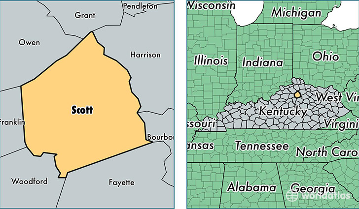
Scott County is a county equivalent area found in Kentucky, USA. The county government of Scott is found in the county seat of Georgetown.
With a total 739.27 sq. km of land and water area, Scott County, Kentucky is the 2878th largest county equivalent area in the United States. Home to 51,284 people, Scott County has a total 20080 households earning 61893 on average per year.
Scott County, Kentucky - Quick Facts
| FIPS Code | 21209 |
| Area Codes | 502 |
| Time Zone | EST |
| Major Cities | Georgetown (population: 42,986), Stamping Ground (population: 3,412) |
| Land Area | 19,801 sq miles |
| Water Area | 282 sq miles |
| Household Income | $61,893 |
| Housing Units | 20,080 |
| Median Home Value | $161,300 |
| High School Grads | 88% of population |
| Holders of Bachelors Degrees | 28% of population |
| Retail Spending | $12,283 per capita |
| Food & Accomodation Sales | $73,114 per capita |
| Universities and Colleges | Georgetown College |
This page was last updated on June 30, 2016.