Where is Grant County, Kentucky?
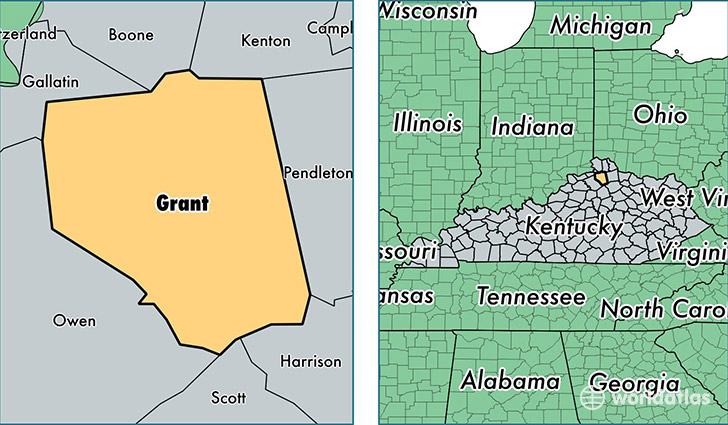
Grant County is a county equivalent area found in Kentucky, USA. The county government of Grant is found in the county seat of Williamstown.
With a total 675.38 sq. km of land and water area, Grant County, Kentucky is the 2921st largest county equivalent area in the United States. Home to 24,875 people, Grant County has a total 9890 households earning 46159 on average per year.
Grant County, Kentucky - Quick Facts
| FIPS Code | 21081 |
| Area Codes | 859 |
| Time Zone | EST |
| Major Cities | Dry Ridge (population: 10,707), Williamstown (population: 7,288), Crittenden (population: 6,283), Corinth (population: 3,197), Glencoe (population: 1,397), Jonesville (population: 106) |
| Land Area | 9,604 sq miles |
| Water Area | 258 sq miles |
| Household Income | $46,159 |
| Housing Units | 9,890 |
| Median Home Value | $124,300 |
| High School Grads | 82% of population |
| Holders of Bachelors Degrees | 11% of population |
| Retail Spending | $11,333 per capita |
| Food & Accomodation Sales | $29,952 per capita |
This page was last updated on June 30, 2016.