Where is Jackson County, Kentucky?
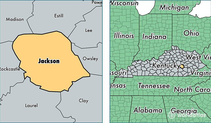
Jackson County is a county equivalent area found in Kentucky, USA. The county government of Jackson is found in the county seat of McKee.
With a total 897.46 sq. km of land and water area, Jackson County, Kentucky is the 2742nd largest county equivalent area in the United States. Home to 13,289 people, Jackson County has a total 6476 households earning 26156 on average per year.
Jackson County, Kentucky - Quick Facts
| FIPS Code | 21109 |
| Area Codes | 606 |
| Time Zone | EST |
| Major Cities | McKee (population: 8,151), Annville (population: 2,869), Tyner (population: 2,196), Sandgap (population: 215), Waneta (population: 134), Gray Hawk (population: 33) |
| Land Area | 5,131 sq miles |
| Water Area | 345 sq miles |
| Household Income | $26,156 |
| Housing Units | 6,476 |
| Median Home Value | $62,100 |
| High School Grads | 69% of population |
| Holders of Bachelors Degrees | 8% of population |
| Retail Spending | $3,370 per capita |
| Food & Accomodation Sales | $2,078 per capita |
This page was last updated on June 30, 2016.