Washington County, KY, USA
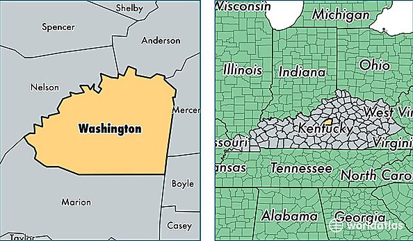
Washington County is a county equivalent area found in Kentucky, USA. The county government of Washington is found in the county seat of Springfield.
With a total 780.11 sq. km of land and water area, Washington County, Kentucky is the 2846th largest county equivalent area in the United States. Home to 11,959 people, Washington County has a total 5050 households earning 40845 on average per year.
Washington County, Kentucky - Quick Facts
| FIPS Code | 21229 |
| Area Codes | 859 |
| Time Zone | EST |
| Major Cities | Springfield (population: 8,358), Willisburg (population: 2,221), Mackville (population: 536) |
| Land Area | 4,617 sq miles |
| Water Area | 297 sq miles |
| Household Income | $40,845 |
| Housing Units | 5,050 |
| Median Home Value | $107,300 |
| High School Grads | 81% of population |
| Holders of Bachelors Degrees | 16% of population |
| Retail Spending | $5,490 per capita |
| Food & Accomodation Sales | $6,302 per capita |