Where is Ellsworth County, Kansas?
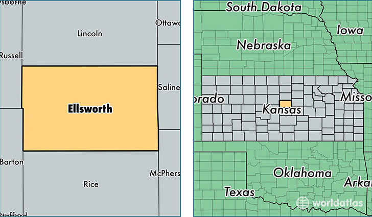
Ellsworth County is a county equivalent area found in Kansas, USA. The county government of Ellsworth is found in the county seat of Ellsworth.
With a total 1,873.3 sq. km of land and water area, Ellsworth County, Kansas is the 1349th largest county equivalent area in the United States. Home to 6,392 people, Ellsworth County has a total 3207 households earning 45865 on average per year.
Ellsworth County, Kansas - Quick Facts
| FIPS Code | 20053 |
| Area Codes | 785 |
| Time Zone | CST |
| Major Cities | Ellsworth (population: 3,672), Wilson (population: 1,053), Kanopolis (population: 562), Holyrood (population: 554), Lorraine (population: 250) |
| Land Area | 2,468 sq miles |
| Water Area | 716 sq miles |
| Household Income | $45,865 |
| Housing Units | 3,207 |
| Median Home Value | $73,300 |
| High School Grads | 90% of population |
| Holders of Bachelors Degrees | 21% of population |
| Retail Spending | $5,066 per capita |
| Food & Accomodation Sales | $4,554 per capita |
This page was last updated on June 30, 2016.