Where is Ottawa County, Kansas?
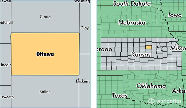
Ottawa County is a county equivalent area found in Kansas, USA. The county government of Ottawa is found in the county seat of Minneapolis.
With a total 1,868.25 sq. km of land and water area, Ottawa County, Kansas is the 1358th largest county equivalent area in the United States. Home to 6,065 people, Ottawa County has a total 2765 households earning 58396 on average per year.
Ottawa County, Kansas - Quick Facts
| FIPS Code | 20143 |
| Area Codes | 785 |
| Time Zone | CST |
| Major Cities | Minneapolis (population: 2,894), Bennington (population: 1,361), Tescott (population: 889), Delphos (population: 633) |
| Land Area | 2,342 sq miles |
| Water Area | 721 sq miles |
| Household Income | $58,396 |
| Housing Units | 2,765 |
| Median Home Value | $93,400 |
| High School Grads | 92% of population |
| Holders of Bachelors Degrees | 21% of population |
| Retail Spending | $3,232 per capita |
| Food & Accomodation Sales | $1,533 per capita |
This page was last updated on June 30, 2016.