Where is Cloud County, Kansas?
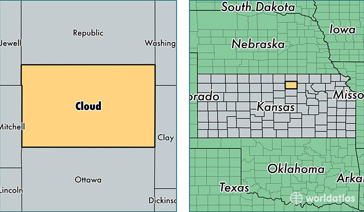
Cloud County is a county equivalent area found in Kansas, USA. The county government of Cloud is found in the county seat of Concordia.
With a total 1,859.59 sq. km of land and water area, Cloud County, Kansas is the 1386th largest county equivalent area in the United States. Home to 9,385 people, Cloud County has a total 4621 households earning 38534 on average per year.
Cloud County, Kansas - Quick Facts
| FIPS Code | 20029 |
| Area Codes | 785 |
| Time Zone | CST |
| Major Cities | Concordia (population: 6,509), Clyde (population: 991), Miltonvale (population: 763), Glasco (population: 670), Jamestown (population: 486), Aurora (population: 176) |
| Land Area | 3,624 sq miles |
| Water Area | 715 sq miles |
| Household Income | $38,534 |
| Housing Units | 4,621 |
| Median Home Value | $66,100 |
| High School Grads | 90% of population |
| Holders of Bachelors Degrees | 17% of population |
| Retail Spending | $11,776 per capita |
| Food & Accomodation Sales | $13,731 per capita |
This page was last updated on June 30, 2016.