Where is Cherokee County, Kansas?
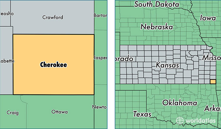
Cherokee County is a county equivalent area found in Kansas, USA. The county government of Cherokee is found in the county seat of Columbus.
With a total 1,530.74 sq. km of land and water area, Cherokee County, Kansas is the 1775th largest county equivalent area in the United States. Home to 20,787 people, Cherokee County has a total 9778 households earning 39746 on average per year.
Cherokee County, Kansas - Quick Facts
| FIPS Code | 20021 |
| Area Codes | 620 |
| Time Zone | CST |
| Major Cities | Baxter Springs (population: 5,734), Columbus (population: 5,638), Galena (population: 5,357), Weir (population: 1,324), Riverton (population: 1,137), Scammon (population: 850), West Mineral (population: 174), Treece (population: 136), Crestline (population: 89) |
| Land Area | 8,026 sq miles |
| Water Area | 588 sq miles |
| Household Income | $39,746 |
| Housing Units | 9,778 |
| Median Home Value | $71,600 |
| High School Grads | 86% of population |
| Holders of Bachelors Degrees | 15% of population |
| Retail Spending | $5,686 per capita |
| Food & Accomodation Sales | $8,639 per capita |
This page was last updated on June 30, 2016.