Saline County, IL, USA
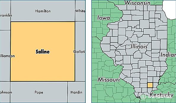
Saline County is a county equivalent area found in Illinois, USA. The county government of Saline is found in the county seat of Harrisburg.
With a total 1,001.75 sq. km of land and water area, Saline County, Illinois is the 2643rd largest county equivalent area in the United States. Home to 24,612 people, Saline County has a total 11576 households earning 37800 on average per year.
Saline County, Illinois - Quick Facts
| FIPS Code | 17165 |
| Area Codes | 618 |
| Time Zone | CST |
| Major Cities | Harrisburg (population: 12,943), Eldorado (population: 6,270), Carrier Mills (population: 2,308), Galatia (population: 1,945), Stonefort (population: 1,167), Raleigh (population: 700), Muddy (population: 125) |
| Land Area | 9,503 sq miles |
| Water Area | 380 sq miles |
| Household Income | $37,800 |
| Housing Units | 11,576 |
| Median Home Value | $70,500 |
| High School Grads | 85% of population |
| Holders of Bachelors Degrees | 15% of population |
| Retail Spending | $10,427 per capita |
| Food & Accomodation Sales | $28,274 per capita |