Where is Gallatin County, Illinois?
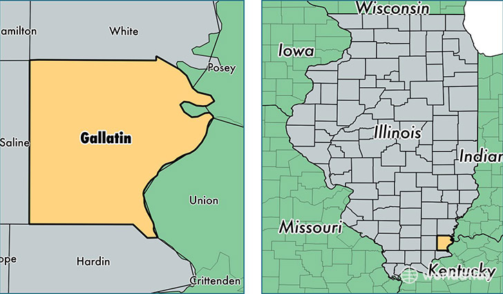
Gallatin County is a county equivalent area found in Illinois, USA. The county government of Gallatin is found in the county seat of Shawneetown.
With a total 849.99 sq. km of land and water area, Gallatin County, Illinois is the 2791st largest county equivalent area in the United States. Home to 5,291 people, Gallatin County has a total 2723 households earning 40330 on average per year.
Gallatin County, Illinois - Quick Facts
| FIPS Code | 17059 |
| Area Codes | 618 |
| Time Zone | CST |
| Major Cities | Shawneetown (population: 1,788), Ridgway (population: 1,195), Equality (population: 905), Omaha (population: 666), New Haven (population: 507), Junction (population: 500) |
| Land Area | 2,043 sq miles |
| Water Area | 323 sq miles |
| Household Income | $40,330 |
| Housing Units | 2,723 |
| Median Home Value | $61,100 |
| High School Grads | 81% of population |
| Holders of Bachelors Degrees | 12% of population |
| Retail Spending | $3,684 per capita |
This page was last updated on June 30, 2016.