Where is Muscatine County, Iowa?
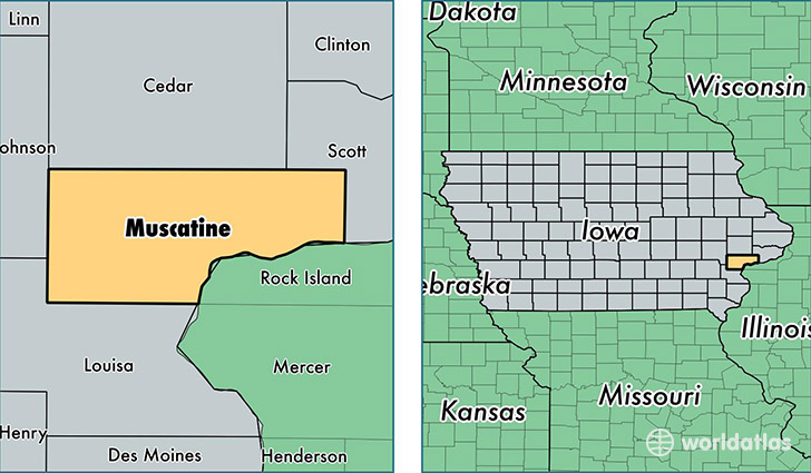
Muscatine County is a county equivalent area found in Iowa, USA. The county government of Muscatine is found in the county seat of Muscatine.
With a total 1,163.24 sq. km of land and water area, Muscatine County, Iowa is the 2347th largest county equivalent area in the United States. Home to 42,903 people, Muscatine County has a total 17833 households earning 51425 on average per year.
Muscatine County, Iowa - Quick Facts
| FIPS Code | 19139 |
| Area Codes | 563,319 |
| Time Zone | CST |
| Major Cities | Muscatine (population: 30,766), West Liberty (population: 4,960), Wilton (population: 4,049), Fruitland (population: 927), Atalissa (population: 861), Nichols (population: 822), Moscow (population: 533) |
| Land Area | 16,565 sq miles |
| Water Area | 437 sq miles |
| Household Income | $51,425 |
| Housing Units | 17,833 |
| Median Home Value | $124,400 |
| High School Grads | 85% of population |
| Holders of Bachelors Degrees | 16% of population |
| Retail Spending | $10,566 per capita |
| Food & Accomodation Sales | $44,245 per capita |
This page was last updated on June 30, 2016.