Where is Wilkinson County, Georgia?
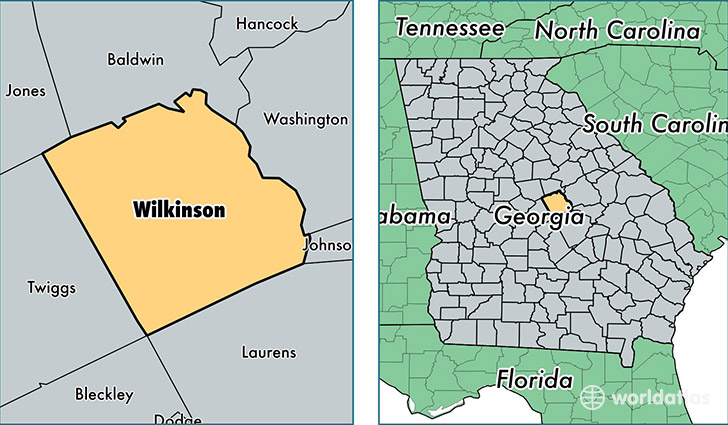
Wilkinson County is a county equivalent area found in Georgia, USA. The county government of Wilkinson is found in the county seat of Irwinton.
With a total 1,170.54 sq. km of land and water area, Wilkinson County, Georgia is the 2337th largest county equivalent area in the United States. Home to 9,326 people, Wilkinson County has a total 4416 households earning 36173 on average per year.
Wilkinson County, Georgia - Quick Facts
| FIPS Code | 13319 |
| Area Codes | 478 |
| Time Zone | EST |
| Major Cities | Gordon (population: 6,569), Irwinton (population: 1,843), McIntyre (population: 1,673), Toomsboro (population: 1,039), Allentown (population: 112) |
| Land Area | 3,601 sq miles |
| Water Area | 447 sq miles |
| Household Income | $36,173 |
| Housing Units | 4,416 |
| Median Home Value | $71,600 |
| High School Grads | 80% of population |
| Holders of Bachelors Degrees | 8% of population |
| Retail Spending | $2,418 per capita |
| Food & Accomodation Sales | $1,377 per capita |
This page was last updated on June 30, 2016.