Where is Johnson County, Georgia?
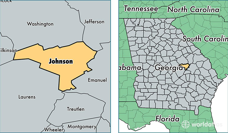
Johnson County is a county equivalent area found in Georgia, USA. The county government of Johnson is found in the county seat of Wrightsville.
With a total 794.07 sq. km of land and water area, Johnson County, Georgia is the 2839th largest county equivalent area in the United States. Home to 9,701 people, Johnson County has a total 4051 households earning 36722 on average per year.
Johnson County, Georgia - Quick Facts
| FIPS Code | 13167 |
| Area Codes | 478 |
| Time Zone | EST |
| Major Cities | Wrightsville (population: 7,332), Adrian (population: 2,910), Kite (population: 1,801) |
| Land Area | 3,746 sq miles |
| Water Area | 303 sq miles |
| Household Income | $36,722 |
| Housing Units | 4,051 |
| Median Home Value | $65,000 |
| High School Grads | 76% of population |
| Holders of Bachelors Degrees | 12% of population |
| Retail Spending | $2,678 per capita |
| Food & Accomodation Sales | $1,384 per capita |
This page was last updated on June 30, 2016.