Where is Laurens County, Georgia?
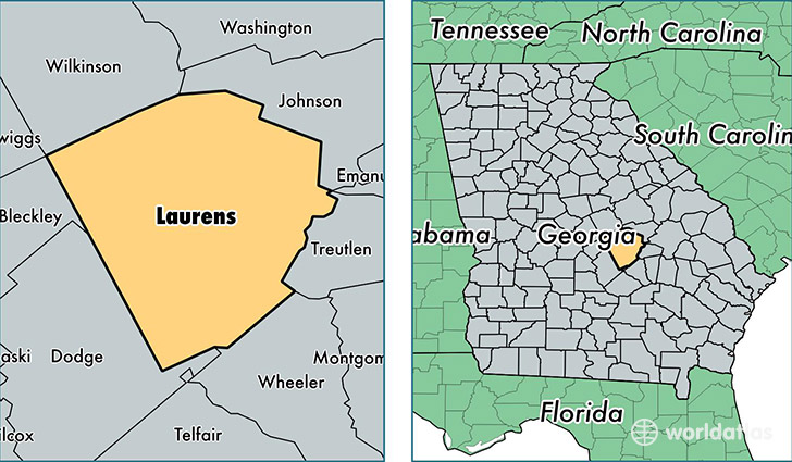
Laurens County is a county equivalent area found in Georgia, USA. The county government of Laurens is found in the county seat of Dublin.
With a total 2,119.83 sq. km of land and water area, Laurens County, Georgia is the 1135th largest county equivalent area in the United States. Home to 47,851 people, Laurens County has a total 21174 households earning 34793 on average per year.
Laurens County, Georgia - Quick Facts
| FIPS Code | 13175 |
| Area Codes | 478 |
| Time Zone | EST |
| Major Cities | Dublin (population: 28,317), East Dublin (population: 9,930), Rentz (population: 2,475), Dexter (population: 2,299), Cadwell (population: 1,465), Dudley (population: 1,412), Montrose (population: 1,108), Rockledge (population: 533) |
| Land Area | 18,475 sq miles |
| Water Area | 807 sq miles |
| Household Income | $34,793 |
| Housing Units | 21,174 |
| Median Home Value | $85,200 |
| High School Grads | 80% of population |
| Holders of Bachelors Degrees | 15% of population |
| Retail Spending | $12,912 per capita |
| Food & Accomodation Sales | $66,796 per capita |
This page was last updated on June 30, 2016.