Where is McDuffie County, Georgia?
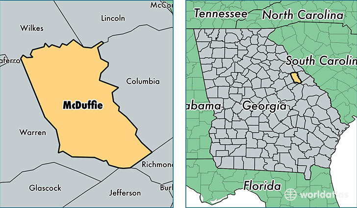
McDuffie County is a county equivalent area found in Georgia, USA. The county government of McDuffie is found in the county seat of Thomson.
With a total 689.93 sq. km of land and water area, McDuffie County, Georgia is the 2912th largest county equivalent area in the United States. Home to 21,370 people, McDuffie County has a total 9202 households earning 37487 on average per year.
McDuffie County, Georgia - Quick Facts
| FIPS Code | 13189 |
| Area Codes | 706 |
| Time Zone | EST |
| Major Cities | Thomson (population: 17,031), Dearing (population: 4,570) |
| Land Area | 8,251 sq miles |
| Water Area | 258 sq miles |
| Household Income | $37,487 |
| Housing Units | 9,202 |
| Median Home Value | $106,100 |
| High School Grads | 75% of population |
| Holders of Bachelors Degrees | 14% of population |
| Retail Spending | $16,276 per capita |
| Food & Accomodation Sales | $23,602 per capita |
This page was last updated on June 30, 2016.