Where is Columbia County, Georgia?
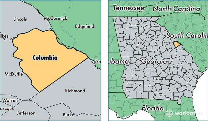
Columbia County is a county equivalent area found in Georgia, USA. The county government of Columbia is found in the county seat of Appling.
With a total 796.7 sq. km of land and water area, Columbia County, Georgia is the 2832nd largest county equivalent area in the United States. Home to 139,257 people, Columbia County has a total 52087 households earning 69306 on average per year.
Columbia County, Georgia - Quick Facts
| FIPS Code | 13073 |
| Area Codes | 706 |
| Time Zone | EST |
| Major Cities | Augusta (population: 53,541), Evans (population: 40,498), Grovetown (population: 32,203), Harlem (population: 8,639), Appling (population: 6,704) |
| Land Area | 53,767 sq miles |
| Water Area | 290 sq miles |
| Household Income | $69,306 |
| Housing Units | 52,087 |
| Median Home Value | $170,400 |
| High School Grads | 91% of population |
| Holders of Bachelors Degrees | 34% of population |
| Retail Spending | $12,919 per capita |
| Food & Accomodation Sales | $119,074 per capita |
This page was last updated on June 30, 2016.