Where is Fayette County, Georgia?
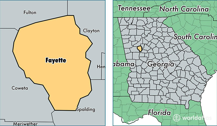
Fayette County is a county equivalent area found in Georgia, USA. The county government of Fayette is found in the county seat of Fayetteville.
With a total 516.25 sq. km of land and water area, Fayette County, Georgia is the 3022nd largest county equivalent area in the United States. Home to 109,664 people, Fayette County has a total 40948 households earning 79977 on average per year.
Fayette County, Georgia - Quick Facts
| FIPS Code | 13113 |
| Area Codes | 770,404 |
| Time Zone | EST |
| Major Cities | Fayetteville (population: 63,193), Peachtree City (population: 35,383), Tyrone (population: 8,360), Brooks (population: 3,078) |
| Land Area | 42,341 sq miles |
| Water Area | 194 sq miles |
| Household Income | $79,977 |
| Housing Units | 40,948 |
| Median Home Value | $231,500 |
| High School Grads | 94% of population |
| Holders of Bachelors Degrees | 43% of population |
| Retail Spending | $13,122 per capita |
| Food & Accomodation Sales | $171,207 per capita |
This page was last updated on June 30, 2016.