Where is Hardee County, Florida?
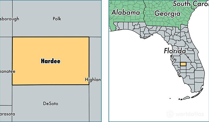
Hardee County is a county equivalent area found in Florida, USA. The county government of Hardee is found in the county seat of Wauchula.
With a total 1,653.32 sq. km of land and water area, Hardee County, Florida is the 1618th largest county equivalent area in the United States. Home to 27,469 people, Hardee County has a total 9569 households earning 37125 on average per year.
Hardee County, Florida - Quick Facts
| FIPS Code | 12049 |
| Area Codes | 863 |
| Time Zone | EST |
| Major Cities | Wauchula (population: 14,626), Bowling Green (population: 7,402), Zolfo Springs (population: 5,020), Ona (population: 779) |
| Land Area | 10,606 sq miles |
| Water Area | 638 sq miles |
| Household Income | $37,125 |
| Housing Units | 9,569 |
| Median Home Value | $85,800 |
| High School Grads | 64% of population |
| Holders of Bachelors Degrees | 9% of population |
| Retail Spending | $13,878 per capita |
| Food & Accomodation Sales | $17,883 per capita |
This page was last updated on June 30, 2016.