Where is Custer County, Colorado?
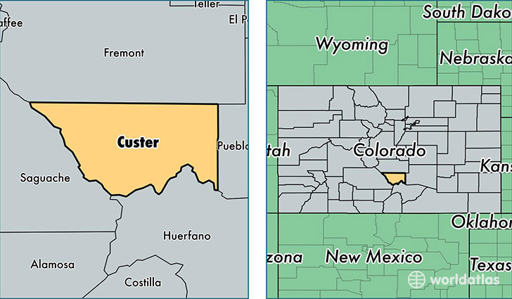
Custer County is a county equivalent area found in Colorado, USA. The county government of Custer is found in the county seat of Westcliffe.
With a total 1,916.4 sq. km of land and water area, Custer County, Colorado is the 1304th largest county equivalent area in the United States. Home to 4,361 people, Custer County has a total 4116 households earning 32427 on average per year.
Custer County, Colorado - Quick Facts
| FIPS Code | 8027 |
| Area Codes | 719 |
| Time Zone | MST |
| Major Cities | Westcliffe (population: 3,824), Wetmore (population: 409) |
| Land Area | 1,684 sq miles |
| Water Area | 739 sq miles |
| Household Income | $32,427 |
| Housing Units | 4,116 |
| Median Home Value | $216,200 |
| High School Grads | 95% of population |
| Holders of Bachelors Degrees | 33% of population |
| Retail Spending | $14,820 per capita |
| Food & Accomodation Sales | $5,545 per capita |
This page was last updated on June 30, 2016.