Where is Saguache County, Colorado?
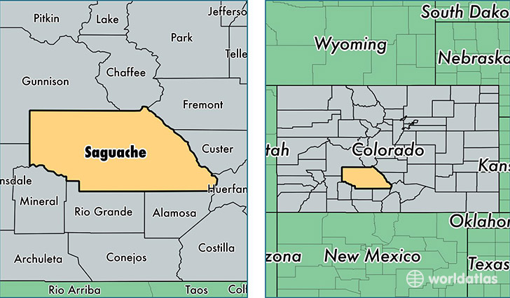
Saguache County is a county equivalent area found in Colorado, USA. The county government of Saguache is found in the county seat of Saguache.
With a total 8,211.59 sq. km of land and water area, Saguache County, Colorado is the 174th largest county equivalent area in the United States. Home to 6,196 people, Saguache County has a total 3882 households earning 34600 on average per year.
Saguache County, Colorado - Quick Facts
| FIPS Code | 8109 |
| Area Codes | 719,970 |
| Time Zone | MST |
| Major Cities | Center (population: 3,536), Crestone (population: 1,227), Saguache (population: 864), Moffat (population: 693), Villa Grove (population: 232), Sargents (population: 49) |
| Land Area | 2,392 sq miles |
| Water Area | 3,169 sq miles |
| Household Income | $34,600 |
| Housing Units | 3,882 |
| Median Home Value | $135,400 |
| High School Grads | 78% of population |
| Holders of Bachelors Degrees | 24% of population |
| Retail Spending | $3,039 per capita |
This page was last updated on June 30, 2016.