Where is Pueblo County, Colorado?
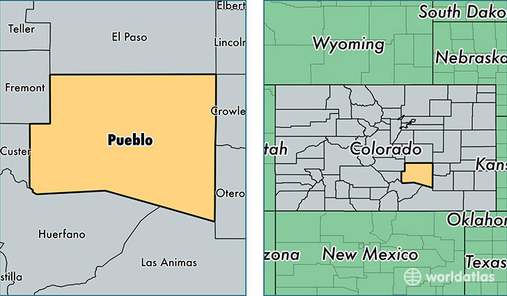
Pueblo County is a county equivalent area found in Colorado, USA. The county government of Pueblo is found in the county seat of Pueblo.
With a total 6,210.2 sq. km of land and water area, Pueblo County, Colorado is the 247th largest county equivalent area in the United States. Home to 161,875 people, Pueblo County has a total 69711 households earning 41777 on average per year.
Pueblo County, Colorado - Quick Facts
| FIPS Code | 8101 |
| Area Codes | 719 |
| Time Zone | MST |
| Major Cities | Pueblo (population: 153,523), Rye (population: 1,901), Colorado City (population: 1,709), Avondale (population: 1,577), Beulah (population: 1,249), Boone (population: 1,083) |
| Land Area | 62,500 sq miles |
| Water Area | 2,386 sq miles |
| Household Income | $41,777 |
| Housing Units | 69,711 |
| Median Home Value | $138,700 |
| High School Grads | 87% of population |
| Holders of Bachelors Degrees | 22% of population |
| Retail Spending | $12,080 per capita |
| Food & Accomodation Sales | $220,852 per capita |
This page was last updated on June 30, 2016.