Where is Butte County, California?
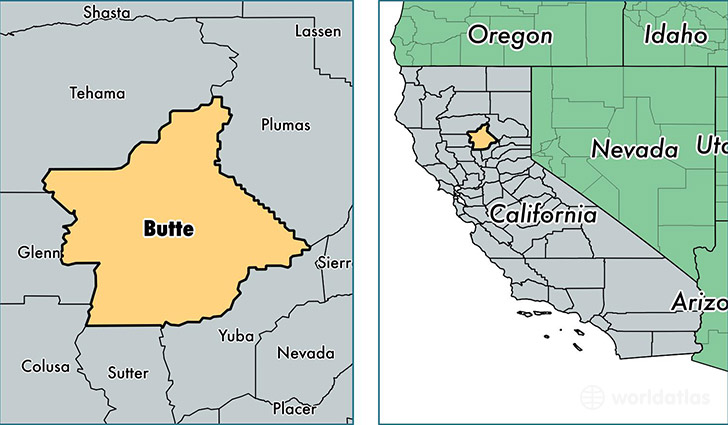
Butte County is a county equivalent area found in California, USA. The county government of Butte is found in the county seat of Oroville.
With a total 4,343.75 sq. km of land and water area, Butte County, California is the 400th largest county equivalent area in the United States. Home to 224,241 people, Butte County has a total 96582 households earning 43752 on average per year.
Butte County, California - Quick Facts
| FIPS Code | 6007 |
| Area Codes | 530 |
| Time Zone | PST |
| Major Cities | Chico (population: 106,933), Oroville (population: 51,383), Paradise (population: 27,741), Magalia (population: 12,336), Gridley (population: 10,885), Durham (population: 3,813), Biggs (population: 3,177), Berry Creek (population: 1,451), Palermo (population: 1,421), Forest Ranch (population: 1,310) |
| Land Area | 86,580 sq miles |
| Water Area | 1,636 sq miles |
| Household Income | $43,752 |
| Housing Units | 96,582 |
| Median Home Value | $225,900 |
| High School Grads | 88% of population |
| Holders of Bachelors Degrees | 24% of population |
| Retail Spending | $11,025 per capita |
| Food & Accomodation Sales | $355,840 per capita |
| Universities and Colleges | California State University-Chico |
This page was last updated on June 30, 2016.