Where is Yuba County, California?
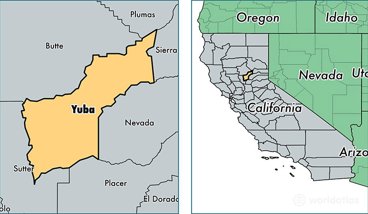
Yuba County is a county equivalent area found in California, USA. The county government of Yuba is found in the county seat of Marysville.
With a total 1,667.97 sq. km of land and water area, Yuba County, California is the 1593rd largest county equivalent area in the United States. Home to 73,966 people, Yuba County has a total 27750 households earning 44902 on average per year.
Yuba County, California - Quick Facts
| FIPS Code | 6115 |
| Area Codes | 530 |
| Time Zone | PST |
| Major Cities | Marysville (population: 31,647), Olivehurst (population: 26,793), Wheatland (population: 4,819), Browns Valley (population: 2,363), Beale AFB (population: 1,750), Oregon House (population: 1,583), Brownsville (population: 1,392), Camptonville (population: 693), Dobbins (population: 637), Rackerby (population: 154) |
| Land Area | 28,558 sq miles |
| Water Area | 632 sq miles |
| Household Income | $44,902 |
| Housing Units | 27,750 |
| Median Home Value | $171,000 |
| High School Grads | 79% of population |
| Holders of Bachelors Degrees | 14% of population |
| Retail Spending | $5,908 per capita |
| Food & Accomodation Sales | $52,440 per capita |
This page was last updated on June 30, 2016.