Where is Plumas County, California?
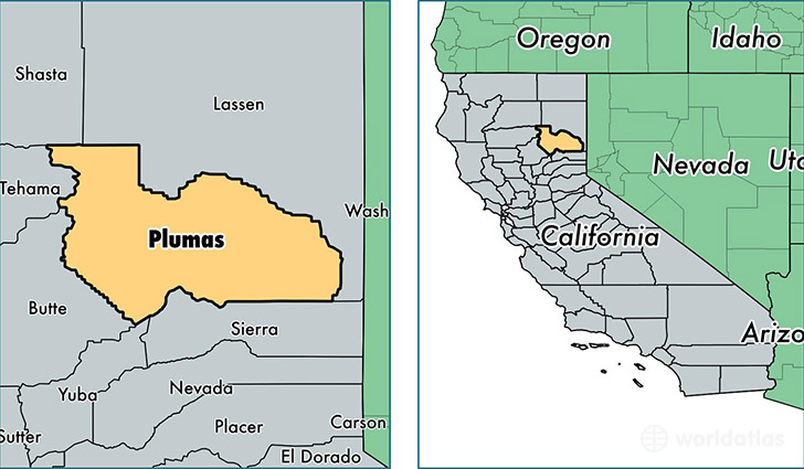
Plumas County is a county equivalent area found in California, USA. The county government of Plumas is found in the county seat of Quincy.
With a total 6,768.76 sq. km of land and water area, Plumas County, California is the 219th largest county equivalent area in the United States. Home to 18,606 people, Plumas County has a total 15604 households earning 45794 on average per year.
Plumas County, California - Quick Facts
| FIPS Code | 6063 |
| Area Codes | 530 |
| Time Zone | PST |
| Major Cities | Quincy (population: 5,788), Portola (population: 3,764), Westwood (population: 3,187), Chester (population: 2,342), Greenville (population: 1,841), Blairsden Graeagle (population: 1,672), Chilcoot (population: 510), Clio (population: 464), Taylorsville (population: 414), Meadow Valley (population: 388) |
| Land Area | 7,184 sq miles |
| Water Area | 2,553 sq miles |
| Household Income | $45,794 |
| Housing Units | 15,604 |
| Median Home Value | $243,700 |
| High School Grads | 90% of population |
| Holders of Bachelors Degrees | 23% of population |
| Retail Spending | $8,506 per capita |
| Food & Accomodation Sales | $30,078 per capita |
| Universities and Colleges | Feather River Community College District |
This page was last updated on June 30, 2016.