Where is Rogers, AR?
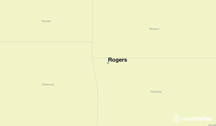
Rogers is a city found in Arkansas, The United States Of America. It is located 36.33 latitude and -94.12 longitude and it is situated at elevation 422 meters above sea level.
Rogers has a population of 55,964 making it the 8th biggest city in Arkansas. It operates on the CDT time zone, which means that it follows the same time zone as Little Rock.
Quick facts
| Country | The United States Of America |
| State | Arkansas |
| Population | 55,964 |
| Elevation | 422 m over sea level |
| Time Zone | CDT |
| Longitude | -94.118540 |
| Latitude | 36.332020 |
Rogers has a population of around 60384, of which 29995 (49%) are male and 30389 (50%) are female. The average age of the inhabitants of Rogers is 33.68, meaning that the average person is below the national median age of 37. For every male, there are approximately 1.01 females, meaning that the population is relatively evenly distributed between males and female(s).
Of Rogers's 60384 residents, around 59038 (97.80%) identify as having a single race. The majority of the population is white, which consists of 87.80% of the population. Of the remaining population, 809 are black/African Americans (1.30%), 775 are native Americans (1.30%), 1597 are asians (2.60%), 51 are pacific islanders (0.10%), 2777 are other (4.60%).
The median income of households in Rogers is $52943.00, meaning that most of the households are above the poverty threshold for families of three. Of the total population, 4.10% of households reported an annual income of less than $10,000.
Rogers, AR Zipcodes
The city of Rogers has 5 zipcodes recognized by the United States Census Bureau: 72712, 72718, 72745, 72756, 72758.