Where is Springdale, AR?
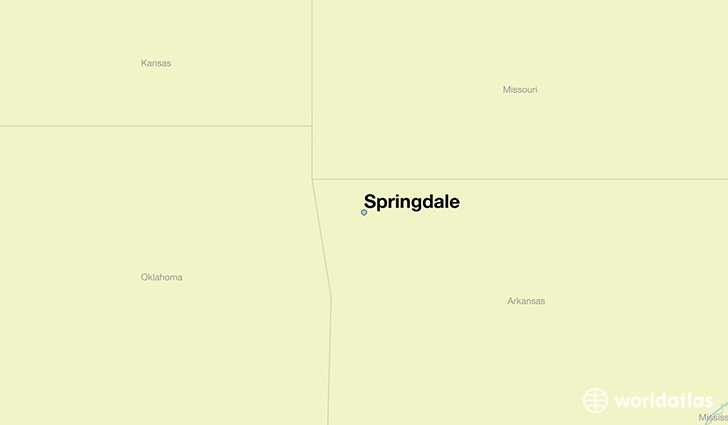
Springdale is a city found in Arkansas, The United States Of America. It is located 36.19 latitude and -94.13 longitude and it is situated at elevation 406 meters above sea level.
Springdale has a population of 69,797 making it the 4th biggest city in Arkansas. It operates on the CDT time zone, which means that it follows the same time zone as Little Rock.
Quick facts
| Country | The United States Of America |
| State | Arkansas |
| Population | 69,797 |
| Elevation | 406 m over sea level |
| Time Zone | CDT |
| Longitude | -94.128810 |
| Latitude | 36.186740 |
Springdale has a population of around 75088, of which 38005 (50%) are male and 37083 (49%) are female. The average age of the inhabitants of Springdale is 31.46, meaning that the average person is below the national median age of 37. For every male, there are approximately 0.98 females, meaning that the population is relatively evenly distributed between males and female(s).
Of Springdale's 75088 residents, around 73431 (97.80%) identify as having a single race. The majority of the population is white, which consists of 64.60% of the population. Of the remaining population, 1719 are black/African Americans (2.30%), 836 are native Americans (1.10%), 1615 are asians (2.20%), 4950 are pacific islanders (6.60%), 15786 are other (21.00%).
The median income of households in Springdale is $42319.00, meaning that most of the households are above the poverty threshold for families of three. Of the total population, 6.90% of households reported an annual income of less than $10,000.
Springdale, AR Zipcodes
The city of Springdale has 4 zipcodes recognized by the United States Census Bureau: 72703, 72745, 72762, 72764.