Where is Little Rock, AR?
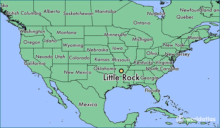
Little Rock is a city found in Arkansas, The United States Of America. It is located 34.75 latitude and -92.29 longitude and it is situated at elevation 105 meters above sea level.
Little Rock has a population of 193,524 making it the biggest city in Arkansas. It operates on the CDT time zone.
Quick facts
| Country | The United States Of America |
| State | Arkansas |
| Population | 193,524 |
| Elevation | 105 m over sea level |
| Time Zone | CDT |
| Longitude | -92.289590 |
| Latitude | 34.746480 |
Little-rock has a population of around 196943, of which 93708 (47%) are male and 103235 (52%) are female. The average age of the inhabitants of Little-rock is 37.12, meaning that the average person is above the national median age of 37. For every male, there are approximately 1.1 females, meaning that the population is relatively evenly distributed between males and female(s).
Of Little-rock's 196943 residents, around 193045 (98.00%) identify as having a single race. The majority of the population is white, which consists of 52.00% of the population. Of the remaining population, 81666 are black/African Americans (41.50%), 431 are native Americans (0.20%), 6093 are asians (3.10%), 107 are pacific islanders (0.10%), 2378 are other (1.20%).
The median income of households in Little-rock is $46085.00, meaning that most of the households are above the poverty threshold for families of three. Of the total population, 9.60% of households reported an annual income of less than $10,000.
Little Rock, AR Zipcodes
The city of Little Rock has 15 zipcodes recognized by the United States Census Bureau: 72002, 72103, 72135, 72201, 72202, 72204, 72205, 72206, 72207, 72209, 72210, 72211, 72212, 72223, 72227.