Where is Prairie County, Arkansas?
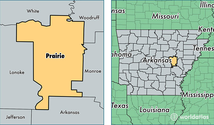
Prairie County is a county equivalent area found in Arkansas, USA. The county government of Prairie is found in the county seat of De Valls Bluff.
With a total 1,749.83 sq. km of land and water area, Prairie County, Arkansas is the 1508th largest county equivalent area in the United States. Home to 8,304 people, Prairie County has a total 4465 households earning 34855 on average per year.
Prairie County, Arkansas - Quick Facts
| FIPS Code | 5117 |
| Area Codes | 870,501 |
| Time Zone | CST |
| Major Cities | Des Arc (population: 2,782), Hazen (population: 2,378), De Valls Bluff (population: 1,414), Biscoe (population: 704), Griffithville (population: 670), Ulm (population: 196) |
| Land Area | 3,206 sq miles |
| Water Area | 648 sq miles |
| Household Income | $34,855 |
| Housing Units | 4,465 |
| Median Home Value | $72,400 |
| High School Grads | 79% of population |
| Holders of Bachelors Degrees | 9% of population |
| Retail Spending | $4,481 per capita |
| Food & Accomodation Sales | $4,266 per capita |
This page was last updated on June 30, 2016.