Lonoke County, AR, USA
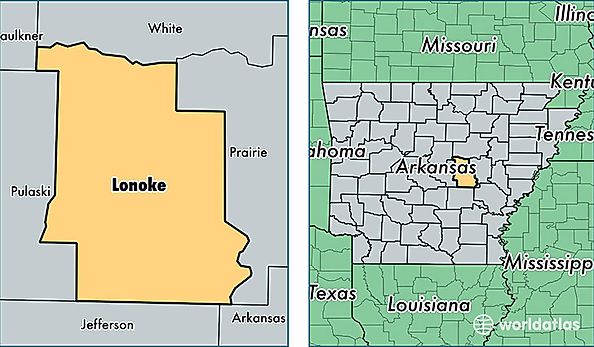
Lonoke County is a county equivalent area found in Arkansas, USA. The county government of Lonoke is found in the county seat of Lonoke.
With a total 2,079.37 sq. km of land and water area, Lonoke County, Arkansas is the 1169th largest county equivalent area in the United States. Home to 71,557 people, Lonoke County has a total 28213 households earning 52582 on average per year.
Lonoke County, Arkansas - Quick Facts
| FIPS Code | 5085 |
| Area Codes | 501,870 |
| Time Zone | CST |
| Major Cities | Cabot (population: 35,769), Lonoke (population: 10,959), Ward (population: 8,300), Austin (population: 6,853), England (population: 4,549), Carlisle (population: 3,847), Humnoke (population: 555), Keo (population: 242), Coy (population: 28) |
| Land Area | 27,628 sq miles |
| Water Area | 771 sq miles |
| Household Income | $52,582 |
| Housing Units | 28,213 |
| Median Home Value | $120,600 |
| High School Grads | 87% of population |
| Holders of Bachelors Degrees | 18% of population |
| Retail Spending | $7,821 per capita |
| Food & Accomodation Sales | $46,387 per capita |