Where is Monroe County, Arkansas?
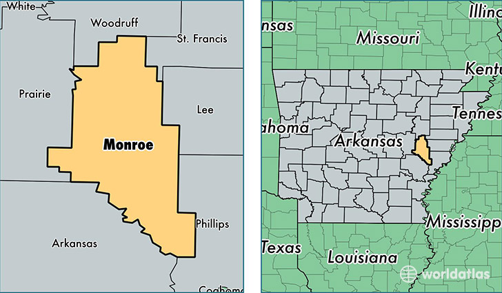
Monroe County is a county equivalent area found in Arkansas, USA. The county government of Monroe is found in the county seat of Clarendon.
With a total 1,609.18 sq. km of land and water area, Monroe County, Arkansas is the 1667th largest county equivalent area in the United States. Home to 7,582 people, Monroe County has a total 4416 households earning 27263 on average per year.
Monroe County, Arkansas - Quick Facts
| FIPS Code | 5095 |
| Area Codes | 870 |
| Time Zone | CST |
| Major Cities | Brinkley (population: 4,176), Clarendon (population: 1,836), Holly Grove (population: 1,314), Roe (population: 302), Monroe (population: 70) |
| Land Area | 2,927 sq miles |
| Water Area | 607 sq miles |
| Household Income | $27,263 |
| Housing Units | 4,416 |
| Median Home Value | $52,200 |
| High School Grads | 75% of population |
| Holders of Bachelors Degrees | 11% of population |
| Retail Spending | $9,599 per capita |
| Food & Accomodation Sales | $8,190 per capita |
This page was last updated on June 30, 2016.