Where is Dawson County, Montana?
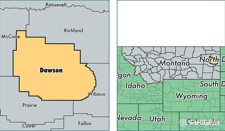
Dawson County is a county equivalent area found in Montana, USA. The county government of Dawson is found in the county seat of Glendive.
With a total 6,172.37 sq. km of land and water area, Dawson County, Montana is the 250th largest county equivalent area in the United States. Home to 9,518 people, Dawson County has a total 4347 households earning 50405 on average per year.
Dawson County, Montana - Quick Facts
| FIPS Code | 30021 |
| Area Codes | 406 |
| Time Zone | MST |
| Major Cities | Glendive (population: 8,567), Richey (population: 362), Bloomfield (population: 154), Lindsay (population: 153) |
| Land Area | 3,675 sq miles |
| Water Area | 2,372 sq miles |
| Household Income | $50,405 |
| Housing Units | 4,347 |
| Median Home Value | $122,200 |
| High School Grads | 89% of population |
| Holders of Bachelors Degrees | 18% of population |
| Retail Spending | $13,784 per capita |
| Food & Accomodation Sales | $21,216 per capita |
This page was last updated on June 30, 2016.