Where is Washtenaw County, Michigan?
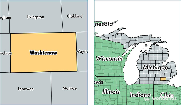
Washtenaw County is a county equivalent area found in Michigan, USA. The county government of Washtenaw is found in the county seat of Ann Arbor.
With a total 1,871.06 sq. km of land and water area, Washtenaw County, Michigan is the 1353rd largest county equivalent area in the United States. Home to 356,874 people, Washtenaw County has a total 148436 households earning 59055 on average per year.
Washtenaw County, Michigan offers the following attraction to visitors: Gerald Ford Library
Washtenaw County, Michigan - Quick Facts
| FIPS Code | 26161 |
| Area Codes | 734,810 |
| Time Zone | EST |
| Major Cities | Ann Arbor (population: 161,170), Ypsilanti (population: 101,090), Saline (population: 21,829), Dexter (population: 14,677), Milan (population: 13,916), Whitmore Lake (population: 13,828), Chelsea (population: 12,776), Manchester (population: 7,438), Willis (population: 4,122), Whittaker (population: 108) |
| Land Area | 137,790 sq miles |
| Water Area | 706 sq miles |
| Household Income | $59,055 |
| Housing Units | 148,436 |
| Median Home Value | $198,400 |
| High School Grads | 94% of population |
| Holders of Bachelors Degrees | 51% of population |
| Retail Spending | $10,584 per capita |
| Food & Accomodation Sales | $613,520 per capita |
| Universities and Colleges | Concordia University-Ann Arbor, Eastern Michigan University, University of Michigan-Ann Arbor |
This page was last updated on June 30, 2016.