Where is Oakland County, Michigan?
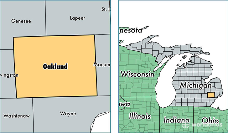
Oakland County is a county equivalent area found in Michigan, USA. The county government of Oakland is found in the county seat of Pontiac.
With a total 2,349.87 sq. km of land and water area, Oakland County, Michigan is the 931st largest county equivalent area in the United States. Home to 1,237,868 people, Oakland County has a total 530434 households earning 65594 on average per year.
Oakland is the home to this professional sports team: Detroit Pistons (NBA)
Oakland County, Michigan - Quick Facts
| FIPS Code | 26125 |
| Area Codes | 248 |
| Time Zone | EST |
| Major Cities | Rochester (population: 98,670), Farmington (population: 89,263), Troy (population: 82,210), Southfield (population: 76,982), Waterford (population: 72,615), West Bloomfield (population: 67,330), Pontiac (population: 60,762), Royal Oak (population: 58,127), Novi (population: 51,869), Clarkston (population: 46,652) |
| Land Area | 477,943 sq miles |
| Water Area | 868 sq miles |
| Household Income | $65,594 |
| Housing Units | 530,434 |
| Median Home Value | $170,500 |
| High School Grads | 93% of population |
| Holders of Bachelors Degrees | 43% of population |
| Retail Spending | $15,131 per capita |
| Food & Accomodation Sales | $2,284,814 per capita |
| Universities and Colleges | Oakland University, Baker College Corporate Services |
This page was last updated on June 30, 2016.