Where is Penobscot County, Maine?
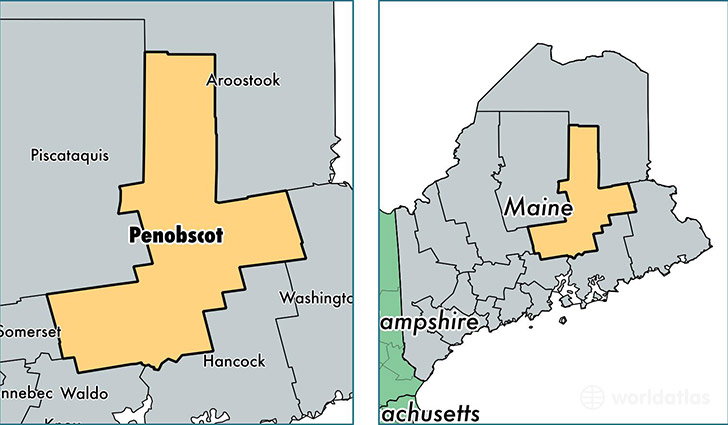
Penobscot County is a county equivalent area found in Maine, USA. The county government of Penobscot is found in the county seat of Bangor.
With a total 9,212.68 sq. km of land and water area, Penobscot County, Maine is the 152nd largest county equivalent area in the United States. Home to 153,414 people, Penobscot County has a total 73907 households earning 43734 on average per year.
Penobscot County, Maine - Quick Facts
| FIPS Code | 23019 |
| Area Codes | 207 |
| Time Zone | EST |
| Major Cities | Bangor (population: 44,847), Orono (population: 10,349), Old Town (population: 9,510), Brewer (population: 9,471), Hampden (population: 8,813), Lincoln (population: 5,941), Millinocket (population: 4,828), Dexter (population: 4,288), Orrington (population: 3,728), Newport (population: 3,224) |
| Land Area | 59,233 sq miles |
| Water Area | 3,397 sq miles |
| Household Income | $43,734 |
| Housing Units | 73,907 |
| Median Home Value | $137,700 |
| High School Grads | 91% of population |
| Holders of Bachelors Degrees | 24% of population |
| Retail Spending | $20,080 per capita |
| Food & Accomodation Sales | $224,163 per capita |
| Universities and Colleges | University of Maine |
This page was last updated on June 30, 2016.