Where is Aroostook County, Maine?
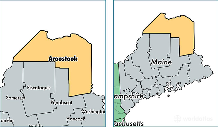
Aroostook County is a county equivalent area found in Maine, USA. The county government of Aroostook is found in the county seat of Houlton.
With a total 17,683.3 sq. km of land and water area, Aroostook County, Maine is the 52nd largest county equivalent area in the United States. Home to 69,447 people, Aroostook County has a total 39318 households earning 37855 on average per year.
Aroostook County, Maine - Quick Facts
| FIPS Code | 23003 |
| Area Codes | 207 |
| Time Zone | EST |
| Major Cities | Houlton (population: 9,852), Caribou (population: 9,738), Presque Isle (population: 9,556), Fort Kent (population: 4,610), Fort Fairfield (population: 3,447), Madawaska (population: 3,297), Mapleton (population: 2,829), Limestone (population: 2,566), Van Buren (population: 2,469), Washburn (population: 1,942) |
| Land Area | 26,814 sq miles |
| Water Area | 6,671 sq miles |
| Household Income | $37,855 |
| Housing Units | 39,318 |
| Median Home Value | $90,800 |
| High School Grads | 85% of population |
| Holders of Bachelors Degrees | 17% of population |
| Retail Spending | $15,350 per capita |
| Food & Accomodation Sales | $71,782 per capita |
This page was last updated on June 30, 2016.