Where is Waldo County, Maine?
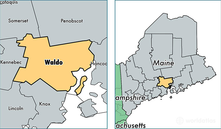
Waldo County is a county equivalent area found in Maine, USA. The county government of Waldo is found in the county seat of Belfast.
With a total 2,208.63 sq. km of land and water area, Waldo County, Maine is the 1080th largest county equivalent area in the United States. Home to 39,051 people, Waldo County has a total 21603 households earning 42221 on average per year.
Waldo County, Maine - Quick Facts
| FIPS Code | 23027 |
| Area Codes | 207 |
| Time Zone | EST |
| Major Cities | Belfast (population: 8,813), Winterport (population: 3,760), Lincolnville (population: 3,687), Searsport (population: 2,613), Stockton Springs (population: 2,318), Unity (population: 2,135), Morrill (population: 1,830), Freedom (population: 1,752), Thorndike (population: 1,722), Brooks (population: 1,594) |
| Land Area | 15,078 sq miles |
| Water Area | 730 sq miles |
| Household Income | $42,221 |
| Housing Units | 21,603 |
| Median Home Value | $156,000 |
| High School Grads | 91% of population |
| Holders of Bachelors Degrees | 28% of population |
| Retail Spending | $8,857 per capita |
| Food & Accomodation Sales | $37,580 per capita |
| Universities and Colleges | Unity College |
This page was last updated on June 30, 2016.