Maps of Tuvalu

Covering a total land area of only 26 sq. km, Tuvalu is a Polynesian nation located in the west-central Pacific Ocean. One of the smallest nations in the world, Tuvalu is a collection of small islands and atolls largely made out of coral reefs and volcanic rock. Isolated from its neighbors, Tuvalu is located south of both Kiribati and Nauru with the nearest nation being Fiji more than 1,000 km away.
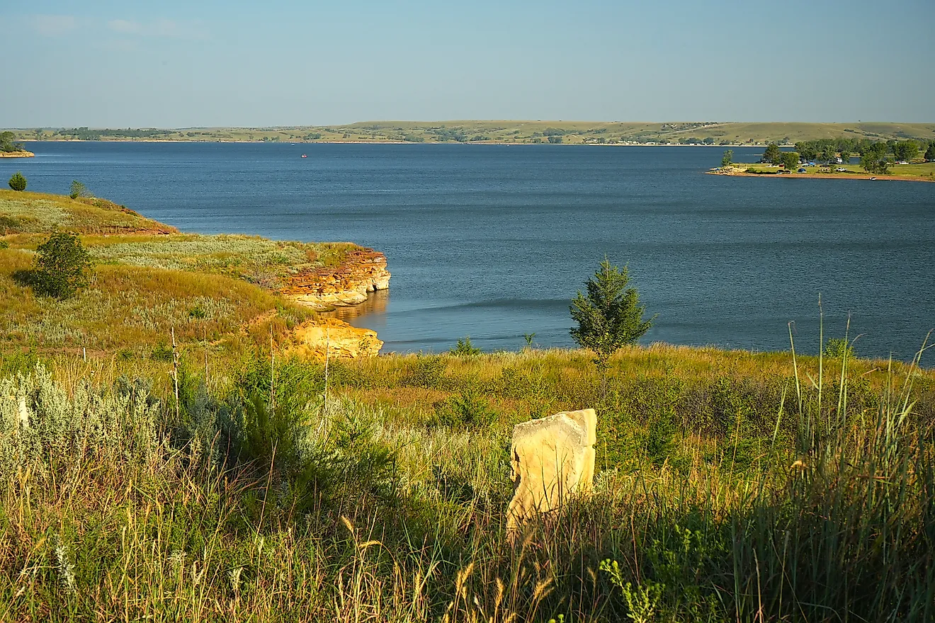
Nanumanga Niutao and Niulakita are the three main islands that make up Tuvalu. The major islands are considered to be reef islands while there are also six true coral atolls (Funafuti, Nanumea, Nui, Nukulaelae, and Vaitupu), along with more than 100 small islets, all of which are scattered over a very large area. These low-lying islands are famous for their reefs and beautiful lagoons. Funafuti, the largest atoll comprises several small islets encircling a large central lagoon. The highest point in Tuvalu is an unnamed location on Niulakita island, which rises to an elevation of 15ft (4.5m). The lowest point is at the South Pacific Ocean (0m).
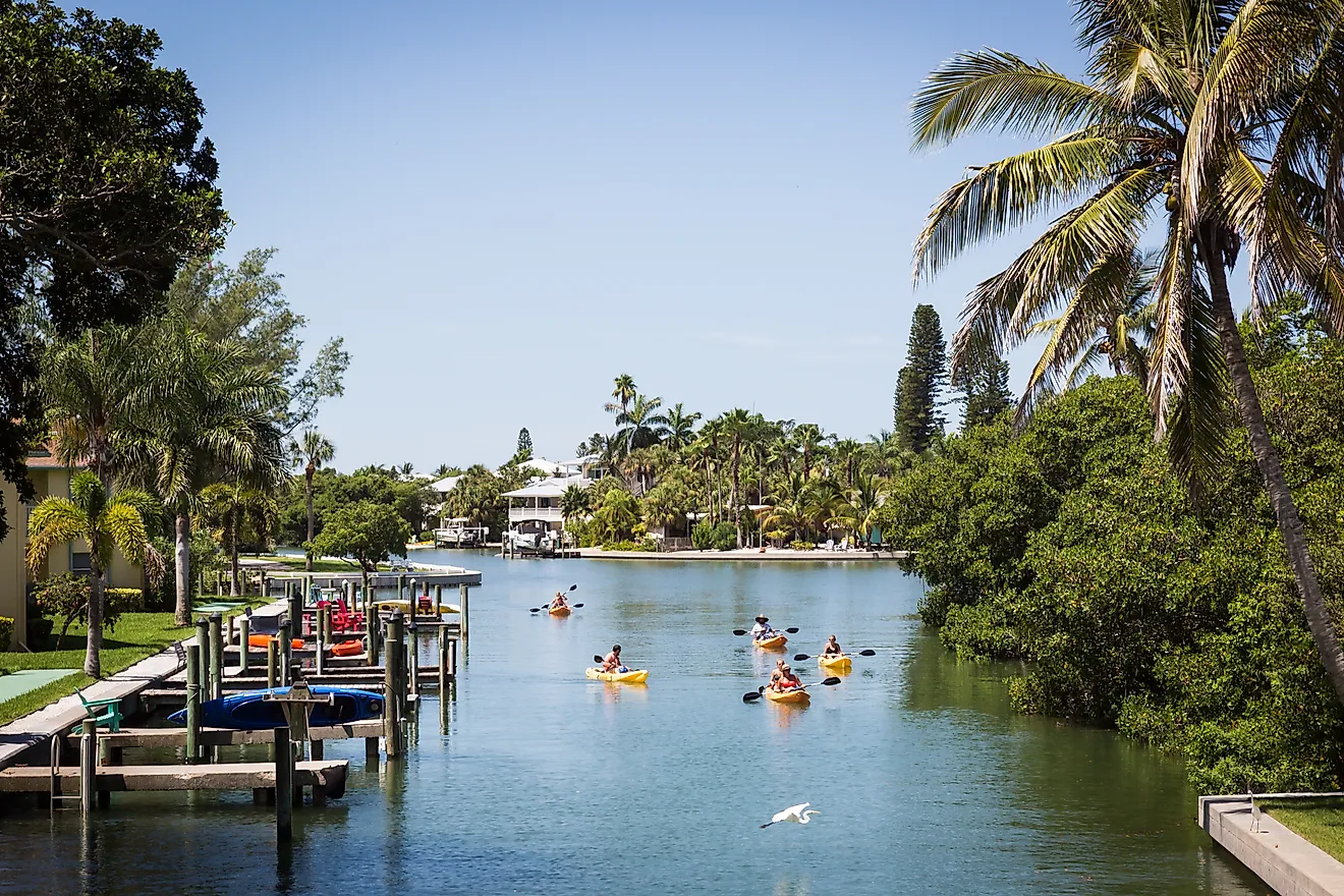
The beaches here are what you might expect to see anywhere else in Polynesia. White sand accompanied by crystal clear blue water is not in short supply. Despite being so beautiful and peaceful, Tuvalu is one of the least visited places and Earth thanks to how hard it is to travel to. With only one airport in the nation, anyone looking to visit this island nation will first need to travel to Fiji first then take a connecting flight.
The Pacific Ocean, of course, surrounds each island that is a part of Tuvalu. The Pacific Ocean is the largest body of water in the world and has a diverse range of behaviors depending on the region of the ocean. The are that Tuvalu is located in tends to be quite warm all year round but does suffer from tropical storms. Rising sea levels are something that Tuvalu has had to contend with in recent years. If trends continue, there is grave concern that various islands and atolls could be lost to the sea forever.
Island Map of Tuvalu

Tuvalu is administratively divided into 7 island councils and 1 town council. In alphabetical order, the island councils are Nanumanga, Nanumea, Niutao, Nui, Nukufetau, Nukulaelae, and Vaitupu. Funafuti is the town council.
Covering a total land area of only 26 sq. km, Tuvalu is a Polynesian island nation located in the west-central Pacific Ocean. It is an archipelago comprising of three reef islands and six coral atolls. The Funafuti atoll is the capital of Tuvalu and is also the most populous among all the 9 atolls. Situated on the Fongafale islet of the Funafuti Atoll is the Vaiaku village – where most of the country’s government administrative offices are located.
Where is Tuvalu?

Tuvalu is a Polynesian island nation located in the west-central Pacific Ocean. It is geographically positioned both in the Southern and Eastern hemispheres of the Earth. Tuvalu is located about halfway between Hawaii and Australia and is surrounded by the Pacific Ocean. It is situated to the east-northeast of Santa Cruz Islands, to the northeast of Vanuatu, to the southeast of Nauru; to the south of Kiribati, to the west of Tokelau, to the northwest of Wallis and Futuna and Samoa; and to the north of Fiji.
Regional Maps: Map of
Outline Map of Tuvalu

The above blank map represents Tuvalu, a Polynesian island nation located in the west-central Pacific Ocean. The above map can be downloaded, printed and used for geography education purposes like map-pointing and coloring activities.

The above outline map represents Tuvalu, a Polynesian island nation located in the west-central Pacific Ocean. Tuvalu was formerly known as the Ellice Islands.
Key Facts
| Legal Name | Tuvalu |
|---|---|
| Flag |
|
| Capital City | Funafuti; note - the capital is an atoll of some 29 islets; administrative offices are in Vaiaku Village on Fongafale Islet |
| 8 31 S, 179 13 E | |
| Total Area | 26.00 km2 |
| Land Area | 26.00 km2 |
| Water Area | N/A |
| Population | 11,646 |
| Currency | Tuvaluan dollars or Australian dollars (AUD) |
| GDP | $47.27 Million |
| GDP Per Capita | $4,059.03 |
This page was last updated on December 26, 2023