8 Great Road Trips to Take in Virginia
Virginia’s geography makes it unusually well-suited for road travel. Within a few hours, drivers can move from the Blue Ridge Mountains, part of the Appalachian Mountains, to the Shenandoah Valley. Mountain corridors such as the Blue Ridge Parkway and Skyline Drive offer long elevated views, while valley routes like US-11 follow rivers and farmland, offering consistent forward visibility. The routes below are chosen because the drives are as compelling as the destinations along the way. Each offers continuous terrain changes, defined roadway character, and reliable pull-offs or overlooks that justify staying off the interstate.
Skyline Drive

Skyline Drive runs 105 miles along the crest of the Blue Ridge inside Shenandoah National Park. Mileposts begin at 0 in Front Royal and continue to Rockfish Gap at mile 104.6, making it one of the easiest scenic roads in the state to navigate by number alone. The speed limit is 35 mph in most places, reinforcing its role as a park road rather than a through highway.

The drive rarely leaves the ridgeline. Overlooks are positioned along the mountain crest, allowing drivers to step out and look west across the Shenandoah Valley or east toward the Piedmont. Entrance fees apply, and the National Park Service advises checking conditions before arrival, as weather and maintenance can affect access.
What keeps the drive engaging is the pace with a rhythm of curve, overlook, and repeat, not blast through and be done. The park also flags a practical reminder that gas options are limited, so it rewards a simple plan: start with fuel, then let the mileposts set your stops
Blue Ridge Parkway (Rockfish Gap to Meadows of Dan section)

In Rockfish Gap, Skyline Drive transitions directly into the Blue Ridge Parkway. From there, the Parkway extends south to Meadows of Dan at milepost 177.7, creating roughly 178 miles of sustained mountain driving within Virginia.
Unlike highways that descend into towns between climbs, the Parkway maintains a steady ridgeline orientation. The milepost system structures the drive, allowing travelers to plan stops precisely rather than guessing distances between towns. Conditions can change at elevation, and sections periodically close for maintenance or weather, so official maps and alerts are essential before departure.
Shenandoah Valley Drive

U.S. Route 11 offers a ground-level counterpart to the mountain crest drives. Running through the Shenandoah Valley and paralleling Interstate 81, it passes farmland, historic towns, and long, open views framed by mountain ranges on both sides. This beautiful drive passes through towns such as Winchester, Edinburg, and Mount Jackson.
This route works because it stays close to the valley floor. Rather than dramatic overlooks, it delivers a sense of continuity with agricultural fields, courthouse squares, and short town segments, followed by open stretches. The effect is steady and horizontal, contrasting sharply with the elevation of Skyline Drive and the Blue Ridge Parkway.
George Washington Memorial Parkway

The George Washington Memorial Parkway is designed as a scenic corridor along the Potomac River. The National Park Service describes it as including more than 25 miles of scenic roadway and linking more than 20 park sites.
Instead of functioning as a single start-to-finish sprint, the Parkway works as a structured river drive. It connects parkland, river viewpoints, and landscapes into a continuous shoreline experience. One such river viewpoint found along the parkway is the Collingswood Picnic Area with views of the Potomac. Because it is managed as a park unit, services and closures can vary, and checking current conditions is an important part of planning the route.
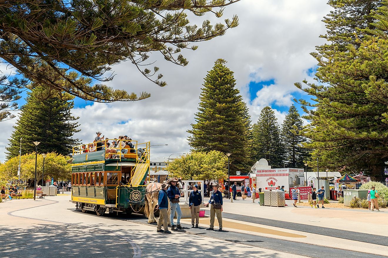
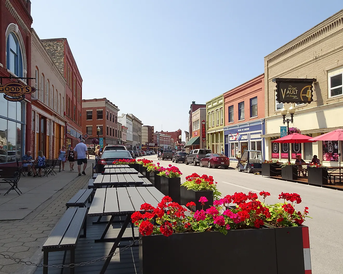
The Crooked Road (Southwest Virginia segment drive)

The Crooked Road is a 330-mile heritage music driving trail in Southwest Virginia. It connects nine major venues and more than 60 affiliated venues and festivals, creating a road trip framework built around live music rather than geography alone.
Unlike a single scenic highway, this is a network of routes. Travelers can anchor the drive around a venue visit or a scheduled performance, such as First Thursdays at the Southwest Virginia Cultural Center & Marketplace in Abingdon. The Crooked Road is not only notable for its memorable drive but also for the unique musical destinations that are perfect for any music lover looking to explore Virginia's performance scene.
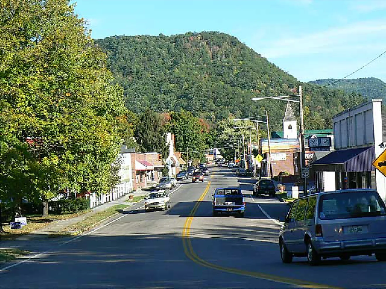
Route 231 (Piedmont backroads itinerary)

Route 231 offers a quieter alternative through Virginia’s Piedmont, with the most scenic stretch running north from Madison to Sperryville. The road winds through rolling pasture and open farmland, offering long sightlines toward Shenandoah National Park and a steady rhythm of gentle climbs and descents rather than dramatic switchbacks.
Route 231 also traces parts of the historic Blue Ridge Turnpike, completed in 1853, and remnants of the original alignment still appear along State Routes 231 and 670. In the hamlet of Banco, the Old Blue Ridge Turnpike branches off Route 231, reinforcing the corridor’s historic road character. The appeal is subtle but cohesive, with light traffic, limited commercial interruption, and consistent mountain-facing views that make the drive feel earned mile by mile.
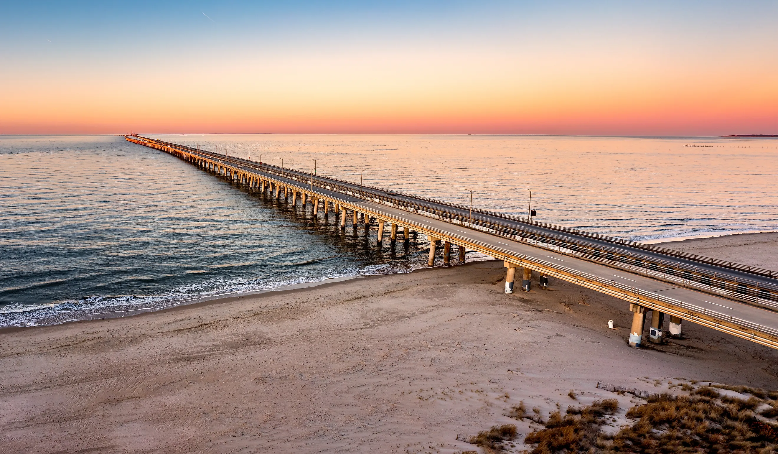
Chesapeake Bay Bridge-Tunnel

The Chesapeake Bay Bridge-Tunnel spans 17.6 miles across the mouth of the Chesapeake Bay, connecting the Virginia Beach/Norfolk area to Virginia's Eastern Shore. The bridge is described as one that includes more than 12 miles of low-level trestle, two one-mile tunnels, and four man-made islands, along with causeways and approach roads. It originally opened back in the 1960s and has grown to become both a tourist attraction as well as a convenient way to travel.
The experience is defined by transition. Drivers move from mainland shoreline onto bridges overlooking the water, descend beneath tunnel segments, then re-emerge onto artificial islands before reaching the Eastern Shore landscape.
Colonial Parkway

The Colonial Parkway is a 23-mile scenic roadway connecting Jamestown, Williamsburg, and Yorktown. The National Park Service notes a maximum speed limit of 45 mph, reinforcing its character as a controlled historic corridor rather than a commuter route. As a compact road trip, it links major historic sites and unifies cultural landmarks rather than forcing drivers back onto modern highways between stops.
The Parkway traces portions of the James and York river corridors and avoids commercial development along its length. Ongoing rehabilitation work has included closures of sections to all travel, with detours posted, making official condition checks important before committing to an end-to-end drive.
Virginia’s strongest road trips are defined by cultural significance and stunning mountain and river views. Skyline Drive and the Blue Ridge Parkway highlight the beauty of the Blue Ridge Mountains. U.S. Route 11 holds to the valley floor. The George Washington Memorial Parkway follows a river corridor. The Chesapeake Bay Bridge-Tunnel fully commits to open water before delivering a new shoreline. Each route maintains a clear journey and a clear destination. In Virginia, that continuity is what makes the drive memorable.