Mooselookmeguntic Lake
Mooselookmeguntic Lake is located in the western region of Maine, USA. It extends into both Franklin County and Oxford County as part of the Androscoggin River watershed. The 286 km long Androscoggin River flows between Maine and New Hampshire. Home to many species of fish, including trout, salmon, and perch, fishing is a popular activity on the lake. The name comes from an Abenaki word that means moose feeding place.
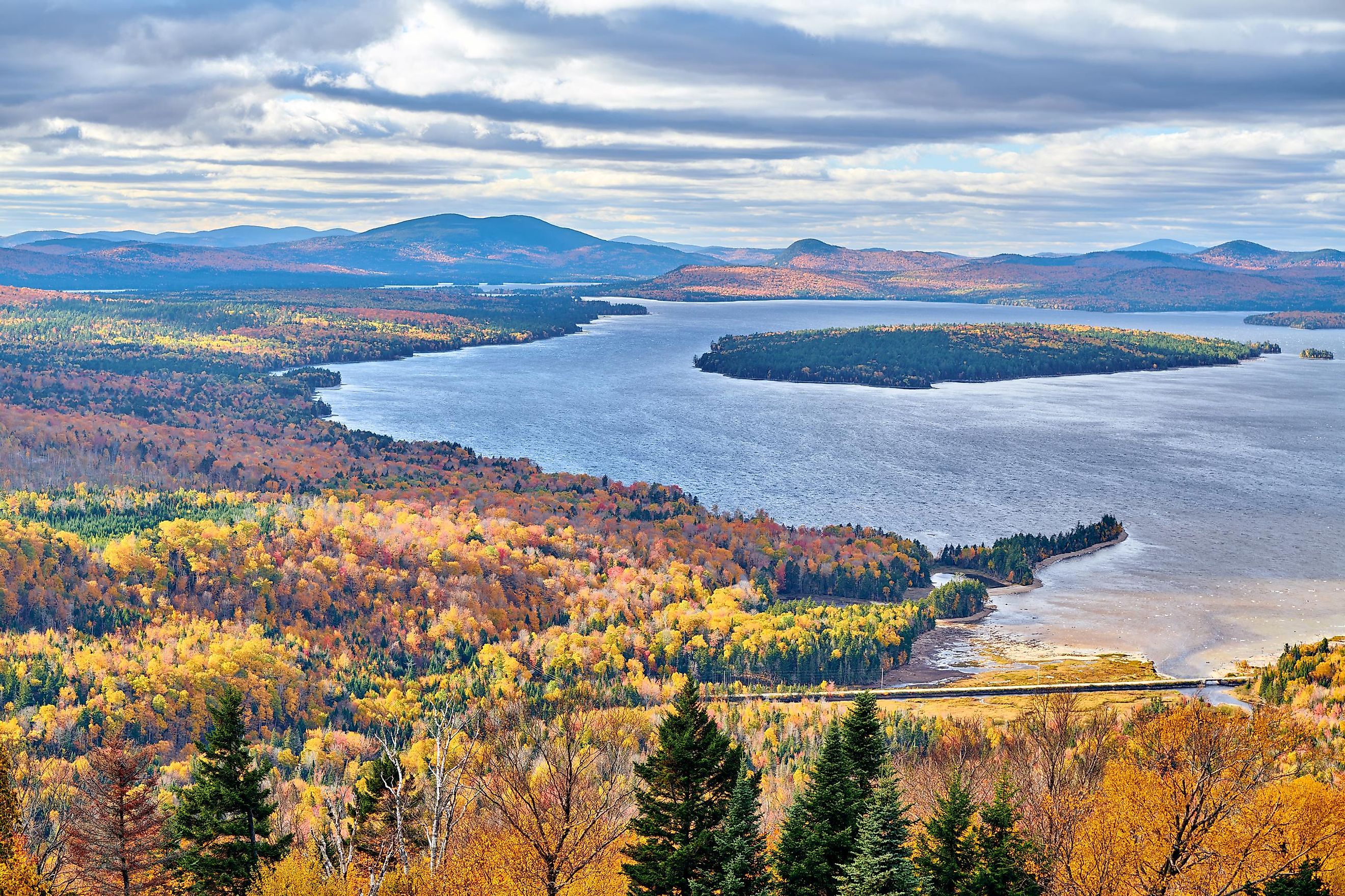
It is part of the so-called Rangeley Lakes Region, which incorporates a total of six lakes in an area very close to the border of the state of New Hampshire and the Canadian province of Quebec. Mountain peaks, including the Rangeley-Stratton mountain range, surround the lake.
Geography Of Mooselookmeguntic Lake

Mooselookmeguntic Lake covers 6,620 hectares, and its shoreline measures 196.189 km. With a surface area of 66 km2, it is the fourth-largest lake in Maine. The lake is about 18.25 m deep on average, ranging to a maximum depth of over 40 m.
The lake's waters flow out to the Richardson Lakes at the Upper Dam in its southeast corner. The dam was constructed in the late 19th century. To join the two lakes, the level of Mooselookmeguntic Lake was raised by 4.25 m. At its northern end, Mooselookmeguntic Lake and Cupsuptic Lake had previously been joined by a small river. After the Upper Dam was built and the lake's water level rose, it turned a narrow river into an extension of the lake. In modern times Cupsuptic Lake is still sometimes used to refer to the upper region of the combined lake.
It is fed by Cupsuptic River, which flows into Cupsuptic Lake, conjoined to Mooselookmeguntic Lake. Rangeley River and the Kennebago River also flow into the northeastern portion of the lake. Toothaker Island and Students Island are located in the southern part of Mooselookmeguntic Lake.
Geology

The lake and region sit on what is called the Rangeley Conglomerate, a composite of sedimentary rocks that have melded together over the centuries. Older rocks, such as sandstone and quartz, are held together by a sediment matrix.
The geological evidence indicates that the various types of rocks came together during a period of upheaval when water flowed about 435 million years ago, causing a great deal of constant erosion. During the Devonian Period, tens of millions of years later, an event such as an earthquake occurred that raised the mountains peaks surrounding the lake—mountains that extend into New Hampshire and Canada. That disruptive event involved heat and pressure, and it melded the various layers and types of rock in the region into the Rangeley Conglomerate.
Climate
The Rangeley Lakes Region experiences a humid continental climate, or Dfb, according to Koppen. Average temperatures vary widely over the year, with warm and sometimes humid summers and cold winters. January is the coldest month, with average highs of -5.5 °C. The weather is severely cold at times, with an all-time low of −43 °C. Snowfall is common between October and April, including severe blizzards. July is the warmest month of the year, with average daily highs of just under 24 °C. August is the wettest month, with an average of 101 mm precipitation.
Flora And Fauna Of Mooselookmeguntic Lake

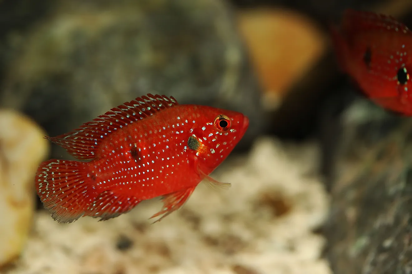
The relatively cold waters of the lake support a thriving environment that includes plant life and invertebrates such as mussels, fish, and many birds. Rich plant life in the lake supports fish spawning. Multiple species of trout, landlocked salmon, and yellow perch can be found in the lake, along with many other smaller species. In turn, the fish support waterfowl, such as loons and ducks.
Around the lake, the Stephen Phillips Memorial Preserve is a protected area of wilderness. It incorporates almost 2,500 hectares of unspoiled forests around the lake, including the islands, and is home to a wide variety of wildlife. Moose and black bears, white-tailed deer, and beavers, among many others, make their home in the woodlands.
Brief History
A series of Native American civilizations inhabited the Rangeley Lakes Region of Maine, including the Red Paint People (3,000 BC to 1,000 BC), so-called because of their use of red ochre paints, and the Susquehanna culture, who left remnants of pottery.
Later, the Eastern Abenaki people inhabited the region, including the Androscoggin (or Arosaguntacook) of the Androscoggin Valley, the neighboring Kennebec of the Kennebec River Valley, and Pigwacket to the east. The Arosaguntacook lived throughout the Androscoggin watershed.
They were among the first Native Americans to have contact with the British settlers in what is now New England. European settlers arrived in the 17th century. By the 19th century, the local Abenaki people had merged with other Algonquin-speaking tribes.
In the late 1800s, the logging industry had become a driving force in the region. It spurred the construction of the original Upper Dam in 1850. Much of the original structure is still in place. Tourism became another major industry in the area in the early 20th century.
Today, Mooselookmeguntic Lake is a popular area for recreation, surrounded by an unspoiled wildlife preserve. Plan to visit this beautiful lake area on your next visit to Maine to enjoy the best of spectacular nature.