Spencer Gulf
South Australia is flanked on the south by the Indian Ocean and a large, shallow bay known as the Great Australian Bight. Although the Bight is a part of the Indian Ocean, it is locally considered to be a part of the Southern Ocean. Two westernmost inlets or gulfs (Spencer and St Vincent) on Australia’s southern coast are considered to be a part of the Bight. The Spencer Gulf, the larger of the two gulfs, is located between the Yorke and Eyre Peninsula; and the Yorke Peninsula also separates the two gulfs. The Spencer Gulf was first explored in 1802 by English navigator Matthew Flinders during his travel around the Australian continent. He named the gulf "Spencer's Gulph" after George John Spencer in March of the same year.
Location and Geography

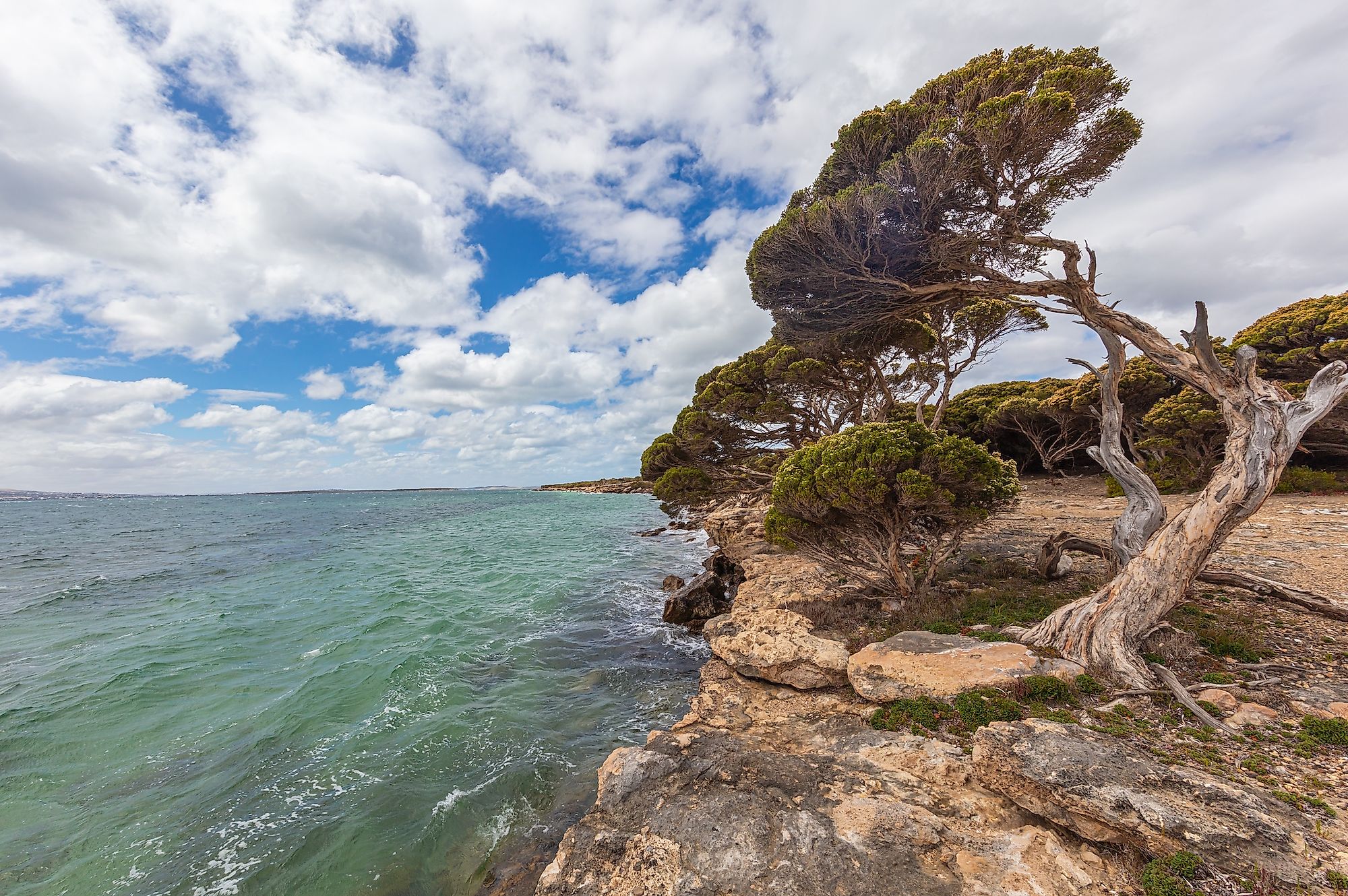
The Spencer Gulf is a triangular gulf indenting South Australia’s southeastern coast. It extends for about 320 kilometers between the Eyre Peninsula on the west and the Yorke Peninsula on the east. It is 77 kilometers wide from Cape Spencer (Yorke Peninsula) to Cape Catastrophe (Eyre Peninsula), and its northern limit is located on Port Augusta. However, the gulf extended at least 298 kilometers inland from the Port Augusta crossing when Flinders explored it in 1802. The extension comprised the Pirie-Torrens corridor and Lake Torrens. The Spencer Gulf is informally divided into three sections: Northern, Southern, and Upper Spencer Gulf. The Northern and Upper Spencer Gulfs are separated by a line at Arno Bay and Wallaroo, while the Upper Spencer Gulf refers to the region north of Port Pirie.
Several towns and communities are located along the gulf’s western and eastern coast, including Port Pirie, Whyalla, Port Augusta, Port Lincoln, Port Victoria, Tumby Bay, and Port Germanie. The first three towns are located in the Upper Spencer Gulf and are collectively referred to as the Iron Triangle. The Sir Josephs Bank, Gambier, Neptune, and Thistle Islands are located in the inlet’s mouth. Spencer also contains several other islands, including Middle, Donington, Boston, Louth, Wardang, Weeroona, Curlew, and Shag Islands. It is crossed by the Joy Baluch AM Bridge that carries Highway I and links Port Augusta and Port Augusta West.
Geology

The Spencer Gulf has its origin from the splitting of the Pangaea into Gondwana and Laurasia. About 50 million years ago, the tectonic movement caused Gondwana to split, separating Australia from Antarctica and forming the Great Australian Bight. The changes in sea level over the years shaped the gulf’s coastline and three different geological provinces have characterized the gulf’s bedrock. The western side contains the Gawler Craton-Eyre Peninsula rock, while the eastern section has the Gawler Creton-Yorke Peninsula Block. The Adelaide Geosyncline forms the northwestern part. The basement rocks on the eastern and western sides are the oldest, formed between 2,300 and 600 million years ago. The gulf’s eastern coastline may have experienced some form of glaciation about ten centuries ago due to the presence of erratics along the shoreline.
Wildlife

The Spencer Gulf is a part of the Great Australian Bight that contains diverse marine species due to the injection of nutrients from deep ocean waters. The gulf is home to some of South Australia’s important species. The rocky reef near Point Lowly and Port Bonython is a breeding area for the Giant Australian cuttlefish. The bottlenose dolphins often visit these areas to hunt for the cuttlefish. The Yellowtail Kingfish and snappers are common in the Upper Spencer Gulf, while Great white sharks are often seen near Port Lincoln. Marine mammals in the Spencer Gulf include humpback whales, southern right whales, Australian sea lions, and New Zealand fur seals. Some islands in the gulf host little penguins and Cape Barren geese, with the Wardang Island hosting over 8,000 penguins.
Protected Areas

The South Australian government has declared parts of the Spencer Gulf protected area to preserve marine life. The gulf's protected areas include four aquatic reserves, five marine parks, and several terrestrial reserves. The aquatic reserves like the Blanche Harbor-Douglas Bank and the Goose Island Aquatic Reserves protect the mangrove-seagrass communities and fish breeding areas. The marine national parks include Sir Joseph Bank Group, Franklin Harbor, and Southern, Upper, and Eastern Spencer Gulf Marine Parks. The terrestrial reserves are on the gulf’s islands and include Munyaroo Conservation Park, Lipson Island Conservation Park, and Bird Island Conservation Park, among other areas.


