What Was The Laurasia Supercontinent?
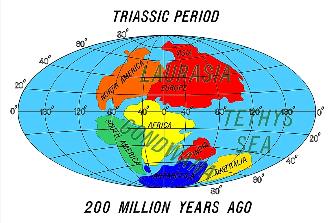
Initially, the earth was in the form of one large mass of land, referred to as the Pangaea, which was surrounded by a water body. The landmass broke into two landmasses, one on the northern side and the other on the southern side. The landmass which was on the northern side was what was referred to as Laurasia, and the landmass on the southern region was referred to as Gondwana. Therefore, Laurasia and Gondwan were the two supercontinents that formed the Pangaea. A supercontinent can be defined as a landmass that comprises of two or even more continents.
Break Up Of The Pangaea
Pangaea is a name that is used to refer to the one large landmass that existed before it broke into smaller pieces, which formed the continents that we know today. The large land mass began by breaking into two pieces. The two pieces, in turn, broke into even smaller pieces, drifting across the ocean bed. German Geologist and metrologist, Alfred Wegener, came up with the theory about the existence of the Pangaea. The theory proposed by Wegener is referred to as the continental drift. Panthalassa was the ocean that stretched from pole to pole when the Pangaea was still whole. The jigsaw fit comes in handy in providing evidence that the continents and land masses we know today were once merged up. For instance, the western coastline of Africa fits in the eastern coastline of South America.
Alexander Du Toit, a South African geologist, expanded on Wegener’s theory. He proposed that the Pangaea later broke up to form the two supercontinents. In his book, Our Wandering Continents, Du Toit describes that Laurasia and Gondwana were separated by a water body called Tethys. The plate tectonics theory is believed to be responsible for the breakup of the Pangaea. The tectonic forces have the capability of bringing continents together, breaking them or subdividing them into smaller units.
The process was not sudden. It occurred over a very long period of time. The Pangaea existed between 335 and 175 million years ago. Its breaking to form Laurasia and Gondwana occurred when the Triassic period began. This was around 215 to 175 million years ago. Laurasia and Gondwana later broke up into the present day continents some 66 to 30 million years ago.
Laurasia Today
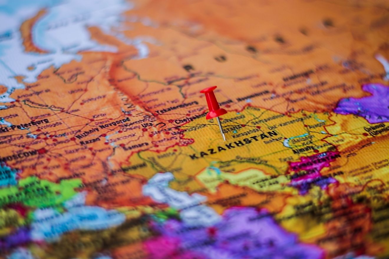
The name Laurasia came up as a result of a combination of Laurentia, which is the North American craton, and Eurasia. In today’s geographical formation, most parts of the Northern hemisphere were formed as a result of the Laurasia supercontinent breaking up into smaller landmasses. Laurentia, Baltica, Kazakhstan, Siberia, North China and East China cratons were all part of the Laurasia supercontinent when it was still one large landmass. The continents located in the Northern hemisphere, which are North America, Europe, Asia with an exemption of Peninsular India were all part of Laurasia.
It is important to note that Laurasia is different from Proto-Laurasia. They do not have any direct relationships. Laurasia was a supercontinent formed from Pangaea, approximately 335 million years ago. Proto-Laurasia was formed from Rodinia, approximately 1 billion years ago.