How Much Of America Is Covered In Forest?
About 8% of Earth’s forests are located in the United States, putting it 4th in the world for forest coverage. Across all 50 states, roughly one-third of America's total land area is covered by trees. According to the US Forest Service, this comes to approximately 751 million acres. To put this into perspective, the entire Mediterranean Sea covers about 620 million acres. Among countries by global forest coverage, the United States ranks behind Russia, Brazil, and Canada. However, the US breaks other records, such as having the largest intact temperate rainforest in the world. Collectively, America's forests are gargantuan and support remarkable biological diversity. National forests are also essential to America's quality of life, acting as carbon sinks, sources of economic growth, and epic recreation sites.
Mapping America’s Forests
The North

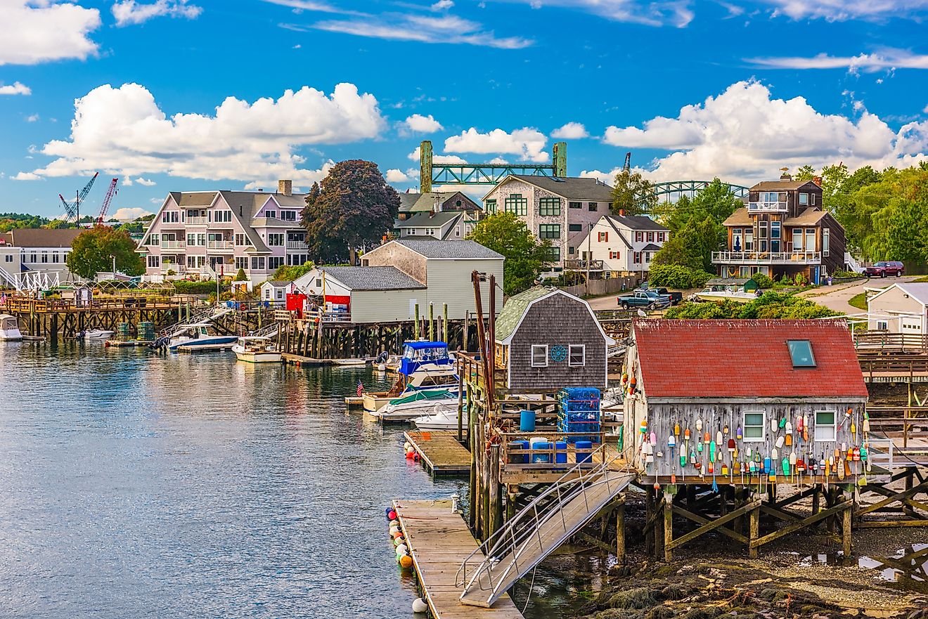
The Northeast has the highest percentage of forest cover in the United States. Most of the forestland is privately owned, accounting for over 40 million acres between family and industrial ownership. As of 2026, Maine takes the state lead with 89% forest cover. Close behind, 83% of New Hampshire is forested, followed by West Virginia (78%) and Vermont (76%).
Resilience is a recurring theme for this region’s forests. A 2013 Harvard-Smithsonian study showed that 9 Northeast states experienced tremendous forest regrowth after colonial logging and farming had cleared more than half of the region's forest cover. Forest recovery has been particularly dramatic in New England, where widespread clearing for farming in earlier centuries was followed by extensive regrowth. Today, roughly 80% of New England is forested. Trees are integral to the region, providing regional climate regulation and economic growth through timber and recreational industries.
The South

The American South follows closely with forest coverage. 71% of Alabama is forested, followed by South Carolina (67%), Georgia (67%), and Mississippi (65%). The region is known for its forest diversity, supporting the highest concentration of tree species in the country. Some common groups are: loblolly/shortleaf pine, oak/pine, and oak/hickory, to name a few.
Due to its broad range of tree communities, the American South is among the most biologically diverse temperate forests in the world. These forests support nearly 600 species of birds, over 240 types of mammals, and nearly 400 species of reptiles and amphibians. The timber industry is also a major employer in the American South, with most forests being privately owned.
The Great Plains

America’s least forested states are in the Great Plains. North Dakota holds the nation’s lowest share, with less than 2% forestland, followed by Nebraska at 3%. Low and variable precipitation, periodic drought, and the region's natural grassland ecology limit the extent of tree cover in these states. Instead, nearly 90% of North Dakota’s land is used for farms and ranches. Likewise, over 90% of Nebraska’s land is also used for agriculture.
Research suggests that introducing trees to the Great Plains may actually have the opposite intended effect on climate change. A 2024 Nature Communications study found that restoring tree cover can reduce surface albedo, offsetting some or even all of the climate benefit of additional carbon storage in certain locations. The effect can be particularly pronounced in drylands and temperate grasslands, underscoring the need to protect native grassland ecosystems. In this regard, planting trees in the Great Plains can darken the ground (thus reducing the region's albedo), thereby absorbing heat that would otherwise be reflected.
The Middle States

Many states fall somewhere in the middle in terms of forest coverage. These mid-range states are 40 to 60% forested, covering a wide range of regions. In the US West, Washington State has 53% forest coverage, while Oregon follows closely at 48%. Michigan, a Midwest state, also falls near the center at 56%.
While we can categorize US forests into geographic regions, tree density is a complex topic with exceptions. Distinct natural geography and human land use are just two reasons tree density can vary from state to state within a single region. For instance, Pennsylvania and Florida have forest coverages of 59% and 50%. They rank well below other states in their respective Northeast and South regions.
The National Forest System

US forests are primarily divided among private, federal, and state owners. Excluding interior Alaska, about 60% of America's forestland is privately owned. The USDA Forest Service, Forest Inventory and Analysis, cites this private majority at 412 million acres as of 2026. Next, federal owners account for nearly 30% of forestland, according to the National Woodland Owner Survey. Finally, about 10% is owned by local governments, state governments, and Tribal groups.
The National Forest System (NFS) manages 154 national forests and 20 national grasslands across the United States. The National Forest System encompasses about 193 million acres, including 154 national forests, 20 national grasslands, and one national prairie. For context, this is larger than the state of Texas, which is 172 million acres.
While America’s national park system focuses on preservation and recreation, national forests are designated for mixed public use. The United States Department of Agriculture (USDA) manages national forests for conservation, recreation, and resource harvesting. As of 2026, 74 million acres are used for livestock grazing. Nearly 50 million acres are also considered suitable for timber management, with the NFS selling 3 billion board feet of timber annually.
Every year, the NFS reforests about 189,000 acres. Replacing harvested timber is one motivation, though the NFS cites wildfires as the main pressure. Wildfires burn roughly 2 million acres of national forest each year, accounting for about 80% of tree replanting needs. In addition to planting an average of 5 million trees annually, the NFS also treats 4 million acres to reduce wildfire risk.
America’s Largest Forest

Tongass is the largest national forest in the United States, encompassing nearly 17 million acres of the world's largest intact temperate rainforest. This record-breaking woodland, covering most of Southeast Alaska, is home to dense groves of western hemlock, Sitka spruce, and cedar, as well as many trees over 800 years old. Due to its vast size, the forest is also a massive carbon sink, storing more carbon than any other national forest in the country. Its forests and soils store an estimated 2.7 petagrams of carbon, accounting for roughly 20% of the carbon stored across the entire National Forest System.
Tongass National Forest is also a major sightseeing hub. Each year, nearly 1 million people travel through its water routes aboard cruise ships and Alaska Marine Highway ferries. On land, the National Forest Service also maintains more than 700 miles of trails, with routes for all ability levels. There are easy rainforest paths like the Connell Lake Trail, which follows the shoreline with a 100-foot elevation gain. More challenging routes, like the Dude Mountain trailhead, climb 1,500 feet for gorgeous views of Tongass’ forested hills.
In 2001, Tongass was included in the Roadless Area Conservation Rule signed by President Bill Clinton, which restricted road construction, reconstruction, and timber harvesting across designated inventoried roadless areas. To date, this includes over 9 million acres in Tongass. In August 2026, the USDA formally proposed rescinding the Roadless Rule. US Secretary of Agriculture Brooke Rollins argued that removing national restrictions will give local authorities the flexibility to lower wildfire risks.
Exploring US Forests
160 million people visit US national forests and grasslands each year, the majority of whom are Americans living within a 2-hour drive. The national forest trail system spans 164,000 miles, connecting people to the country’s greatest landscapes. The Pacific Crest National Scenic Trail is an iconic route that runs through 25 national forests over around 2,650 miles. In Southern California’s portion, the Mojave Desert spotlights Joshua trees. At its highest point in the Sierra Nevada, the trail reaches 13,153 feet. A descent and side hike lead to giant sequoia groves in the Sequoia and Kings Canyon National Parks.
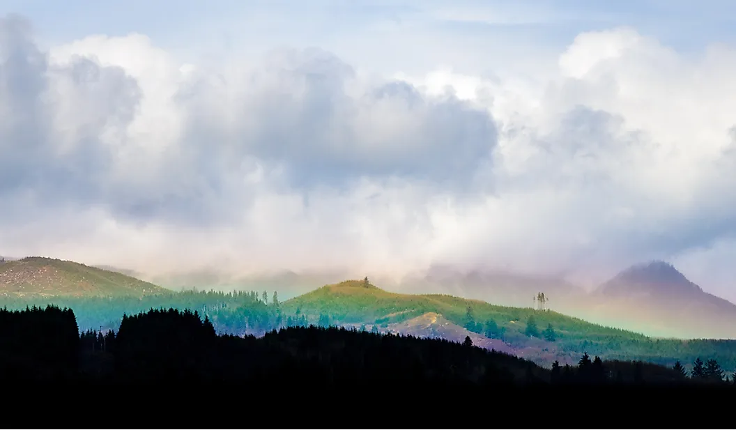
Exploring America’s trees also extends beyond the boundaries of its national parks. Sugar Hill State Forest in New York State is open year-round and free to visitors and campers. The 9,085-acre forest is a hiking haven, dense with evergreens and maples. Meanwhile, massive Douglas-fir groves can be explored across 50 miles of multi-use trails in Tillamook State Forest. Covering 364,000 acres, this Oregon forest is a famous example of forest restoration. Oregon's restoration of the Tillamook Burn began in 1949, eventually involving 72 million hand-planted seedlings and more than a billion dispersed seeds. These efforts paid off, and Tillamook became one of the greatest reforestation success stories in the United States.
Seeing The Forest For The Trees

America's roughly 751 million acres of forestland may appear remarkably stable at the national scale, but the forests themselves are continually changing. Wildfire, logging, development, insects, disease, and climate change can alter their composition even when total acreage changes relatively little. But compared to forests that regenerate naturally, human-led reforestation often struggles to match their structural complexity, biodiversity, and resilience. Human designs often prioritize speed and uniformity for timber production or rapid carbon sequestration, while nature relies on ecological memory. This raises concerns about logging and wildfires, 2 major drivers of the US's reforestation needs. That said, reforestation can help restore forest cover after logging, wildfire, and other disturbances, but maintaining healthy forests involves far more than simply replacing lost trees.