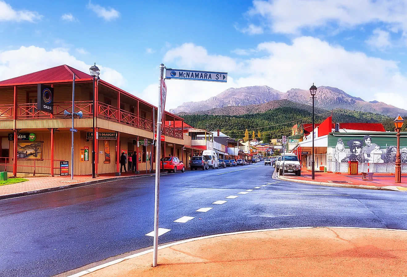
This Is The Friendliest Small Town In British Columbia
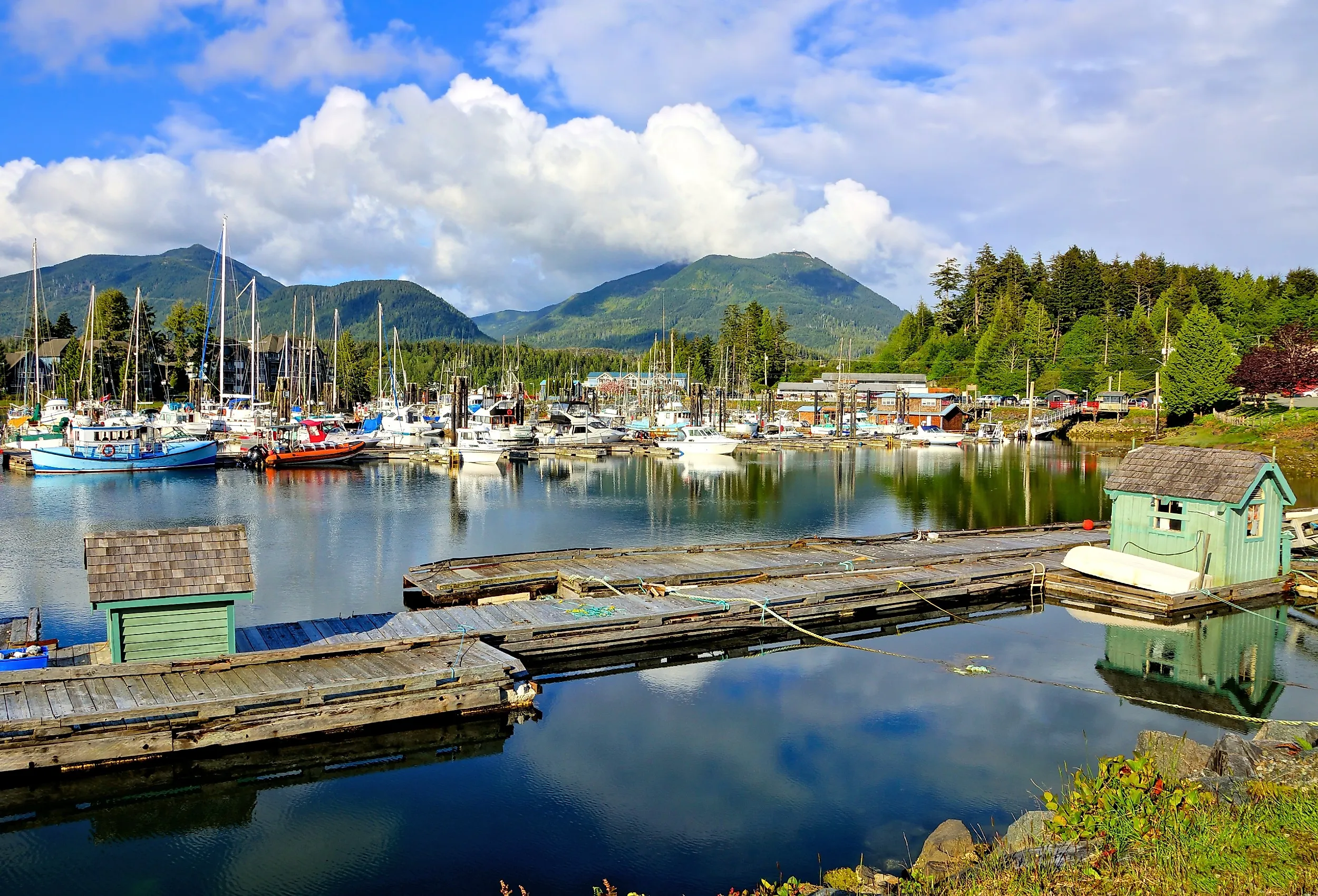
Ucluelet sits on the southwest coast of Vancouver Island, eight kilometres south of the more-touristed Tofino at the end of Highway 4. The town's working harbour still runs a commercial fishing fleet, and most of what makes Ucluelet worth a visit happens within a few kilometres of it: the Wild Pacific Trail along the headlands, the Ucluelet Aquarium on the harbour, the southern entrances to Pacific Rim National Park Reserve, and a Sunday artisans' market through the summer. The pace is closer to a working coastal town than to a resort, which is what most of the people who come here are looking for.
From Sealing Outpost To Outdoor Town

The Yuułuʔiłʔatḥ (Ucluelet First Nation) have lived on this stretch of coast for thousands of years; the town's name is anglicised from a Nuu-chah-nulth word meaning "people with a safe landing place." Ucluelet was settled by Europeans in the late 19th century as a sealing outpost; when the international fur seal trade was banned in 1911, lumbering and salmon fishing took over as the local economy. Most of the architecture along the harbour reflects those 20th-century industries rather than the Victorian frontages found in older BC towns. Pacific Rim National Park Reserve, established in 1970 and split into three units (Long Beach, the Broken Group Islands, and the West Coast Trail), turned the surrounding coast into a protected outdoor recreation area and shifted Ucluelet's economy decisively toward tourism.

The Wild Pacific Trail

The eight-kilometre Wild Pacific Trail is the town's defining hike. Built and maintained by a local volunteer society starting in the 1990s, the trail runs along the rocky headlands south and west of town in three connected sections: the 2.6-kilometre Lighthouse Loop (around the Amphitrite Point Lighthouse), the Artist Loops, and the Ancient Cedars Loop. The path is wide, mostly flat, and accessible by stroller or wheelchair on most of the Lighthouse Loop. In winter, the storm-watching benches positioned along the trail give a direct view of Pacific squalls hitting the headlands. Amphitrite Point Lighthouse itself, the squat concrete structure at the trail's southern point, was built in 1915 to replace a wooden lighthouse destroyed by a rogue wave the year before.

Pacific Rim National Park Reserve

The Long Beach Unit, the section of the park most accessible from town, runs about 16 kilometres of continuous sand from Ucluelet north toward Tofino, with the entrance just off Highway 4. Long Beach itself is the largest sand beach on the west coast of Vancouver Island and is the standard surfing beach for the area, with several outfitters in town renting wetsuits and boards. The Broken Group Islands, in Barkley Sound, are accessible only by boat and are the most popular sea-kayaking destination on the BC coast; the Lady Rose ferry from Port Alberni serves the islands during summer. The West Coast Trail, the third unit, is a 75-kilometre multi-day backcountry hike to the south; it is permitted only and books out months in advance.
The Town Itself

The Ucluelet Aquarium on Main Street operates on an unusual model: every animal in the tanks is collected locally each spring and released at the same site each fall, so the exhibits change with the seasons and nothing is held permanently. Pacific Rim Distilling, also on Main Street, runs tours and tastings of small-batch gin, vodka, and whisky distilled with local ingredients. The Sunday Market in front of the Ucluelet Community Centre runs from late June through early September with regional makers, growers, and food vendors. The Thornton Creek Fish Hatchery on the edge of town is open during the late-summer salmon spawn, and black bears regularly turn out at the hatchery's open weir to feed; observation is from a designated viewing area, and the hatchery's signage is firm about how to behave.
The Quieter Side Of The Pacific Rim
Tofino has the magazine covers, the celebrity-chef restaurants, and the surf-school traffic. Ucluelet has most of the same coastline at lower volume, a working fishing harbour, and a community that does not depend on summer visitors to function the rest of the year. The drive in is long no matter where it starts (about three and a half hours from Nanaimo, three from Port Alberni), but for travellers willing to make it, the trip rewards the time spent.