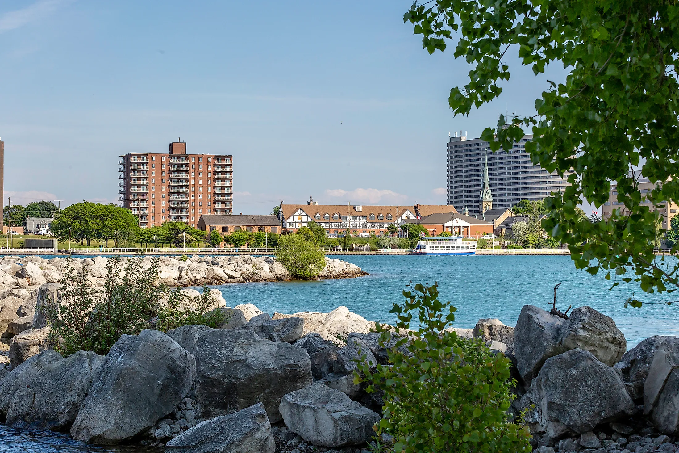
Sarnia, Canada
Sarnia is a waterfront city in Southwestern Ontario, Canada. With a population of 74,293, it is the largest city on Lake Huron - one of the 5 Great Lakes. Because it is adjacent to Michigan, Sarnia acts as a key border crossing to and from the United States via the Bluewater Bridge. Furthermore, given its proximity to the Greater Toronto Area (GTA) and the lakeside appeal, Sarnia sees a swell in traffic come the summertime.
Geography Of Sarnia

The city of Sarnia is part of Lambton County, which is in the Southwest portion of the Province of Ontario. It sits at the convergence of Lake Huron and the St. Clair River, which divides Sarnia (to the East) and Port Huron, Michigan (to the West). This places Sarnia about 5 miles to the East of Port Huron, a little over 60 miles West of London, Ontario, and about 180 miles Southwest of Toronto, Ontario. This land is the traditional territory of the Anishinabek, Bodéwadmi (Potowatami), Ojibwe/Chippewa, Odawa, and Haudenosaunee (Iroquois) Nations.
Climate Of Sarnia
Sarnia experiences a humid, continental climate (warm summers, cold winters). The average annual temperature is 48 degrees Fahrenheit, ranging from a typical low of 18 degrees in January and February to a typical high of 80 degrees in July. The average annual relative humidity is 74% and, on average, around 18 inches of precipitation falls each year. Because of its position on the shores of Lake Huron, Sarnia can sometimes receive large quantities of lake-effect snow.
History And Economy Of Sarnia
Throughout the early to mid-17th century, modern-day Sarnia's area saw some disputes between the residing Indigenous nations. The Tionontati (Petun) claimed the land from the Sauk before passing it off to the Mohawk and Seneca of the Haudenosaunee Confederacy.
In 1679, French explorers established contact in the region. Robert de La Salle was one of the first to sail in, referring to the area as "The Rapids," a translation of its local Indigenous name. This designation stems from the rough, shallow waters that existed where the St.Clair River flowed out of Lake Huron. In the 1850s, dredging projects made the waterway more accessible.
In the 1680s, a fort was first set up across the river in what is now Port Huron, Michigan. The French allied themselves with the Anishinaabe nation and coordinated attacks against the rival Haudenosaunee nation. This ended in 1701 when the Anishinaabe assumed control of the land, along with the Council of Three Fires (Ojibwe, Odawa and Bodéwadmi [Potawatomi]). A long period of prosperous trade ensued between the French and the Anishinaabe, the latter of whom saw their population more than triple by the 1770s.
This period of mutual trade was disrupted by the arrival of the British, associated disease, and the ongoing conflict brought about during the era of America's independence. Treaties were first signed with the United States and then, in 1827, with the British Crown. The latter established the Aamjiwnaang First Nation reserve, where the Anishinaabe people now reside adjacent to the citizens of Sarnia.
In 1830, the area was renamed Port Sarnia. Then, in 1857, it was officially incorporated as the Town of Sarnia. Sarnia had established itself as an important hub for lake freighters and ocean-bound ships by this time.

In 1858, the first oil well in North America went into production at a nearby site called Oil Springs. Basic refinement then began in Sarnia. In 1898 Imperial Oil Company moved its operations to Sarnia and built a more advanced refinery. During the Second World War, the city of Sarnia cemented its position as a petrochemical powerhouse in response to demand for synthetic rubber. The area encompassing much of the petrochemical industry is known as "Chemical Valley." Though a source of great revenue from gasoline/other fuels, plastics/textiles, rubber, chemicals, and insulation, the emissions from these facilities have had a severe impact. In 2011, The World Health Organization reported that Sarnia had the worst air quality of any community in Canada. The Aamjiwnaang reserve is particularly impacted due to its proximity to Chemical Valley. Residents of Sarnia in general, but more so the Anishinaabe people, report a higher incidence of asthma, some cancer, and other debilitating medical issues.
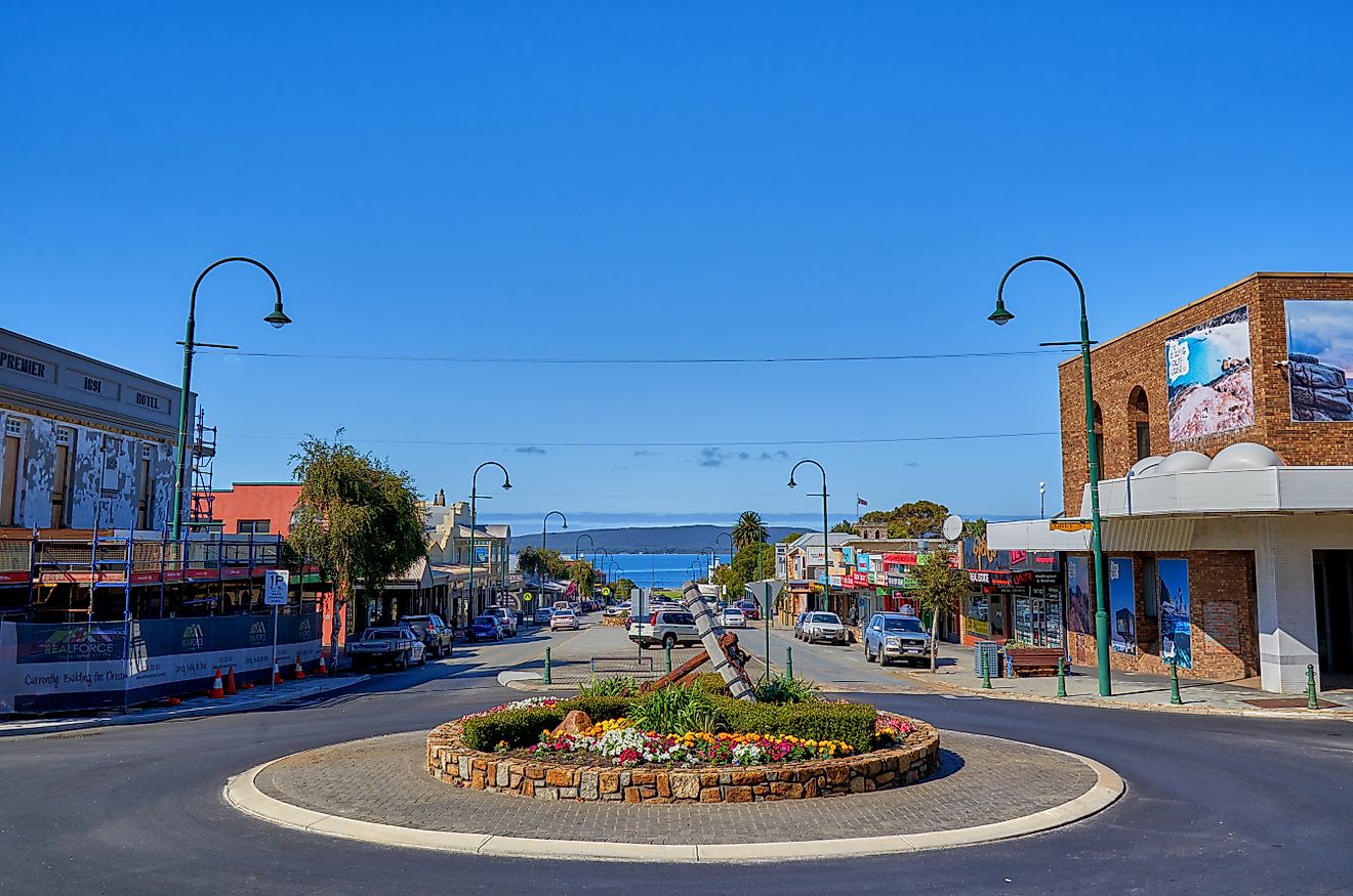
Visiting Sarnia

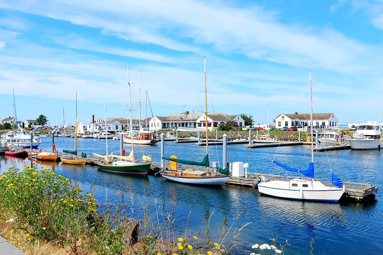
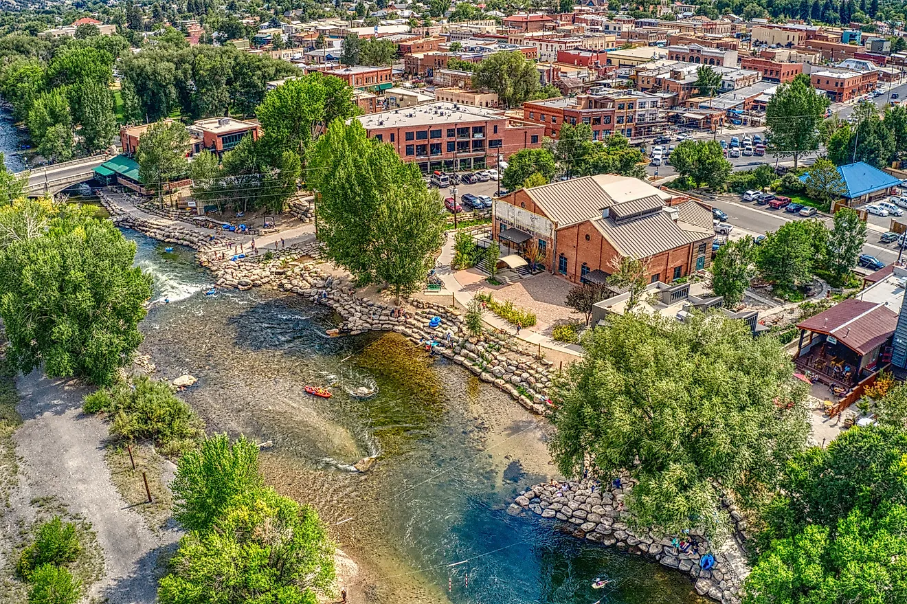
Do not let the environmental reports fool you. Sarnia is a beautiful spot to visit, particularly in the summer. The surrounding waters of Lake Huron and the St. Clair River provide ample opportunities for boating and swimming during the hot and humid months. This offers a great respite from the densely populated Greater Toronto Area and an international getaway for residents of Michigan, United States.
Some notable summertime highlights to check out include Canatara Park, for beaches, trails, and a family-friendly animal farm, and the revived downtown core, for craft drinks and entertainment. The Celebration of Lights brings a large, colorful, and festive display to the waterfront in the wintertime. Also, be sure to take in the rich hockey culture by attending a Sarnia Sting game - the city's Ontario Hockey League (OHL) team known for producing a host of National Hockey League (NHL) drafts.
Sarnia packs in a lot of history and significance for a modest-sized city. It is tucked far down in the Southwest of Ontario, but the surrounding waters, sandy beaches, and laid-back feel make it a worthy destination.